
The Ocklawaha River

Gores Landing to Eureka West
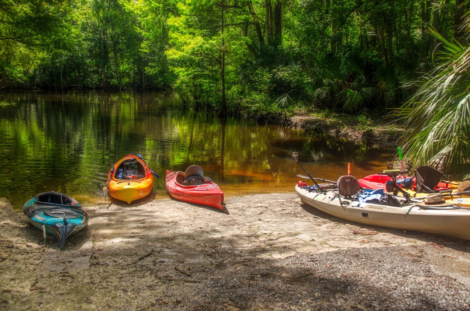
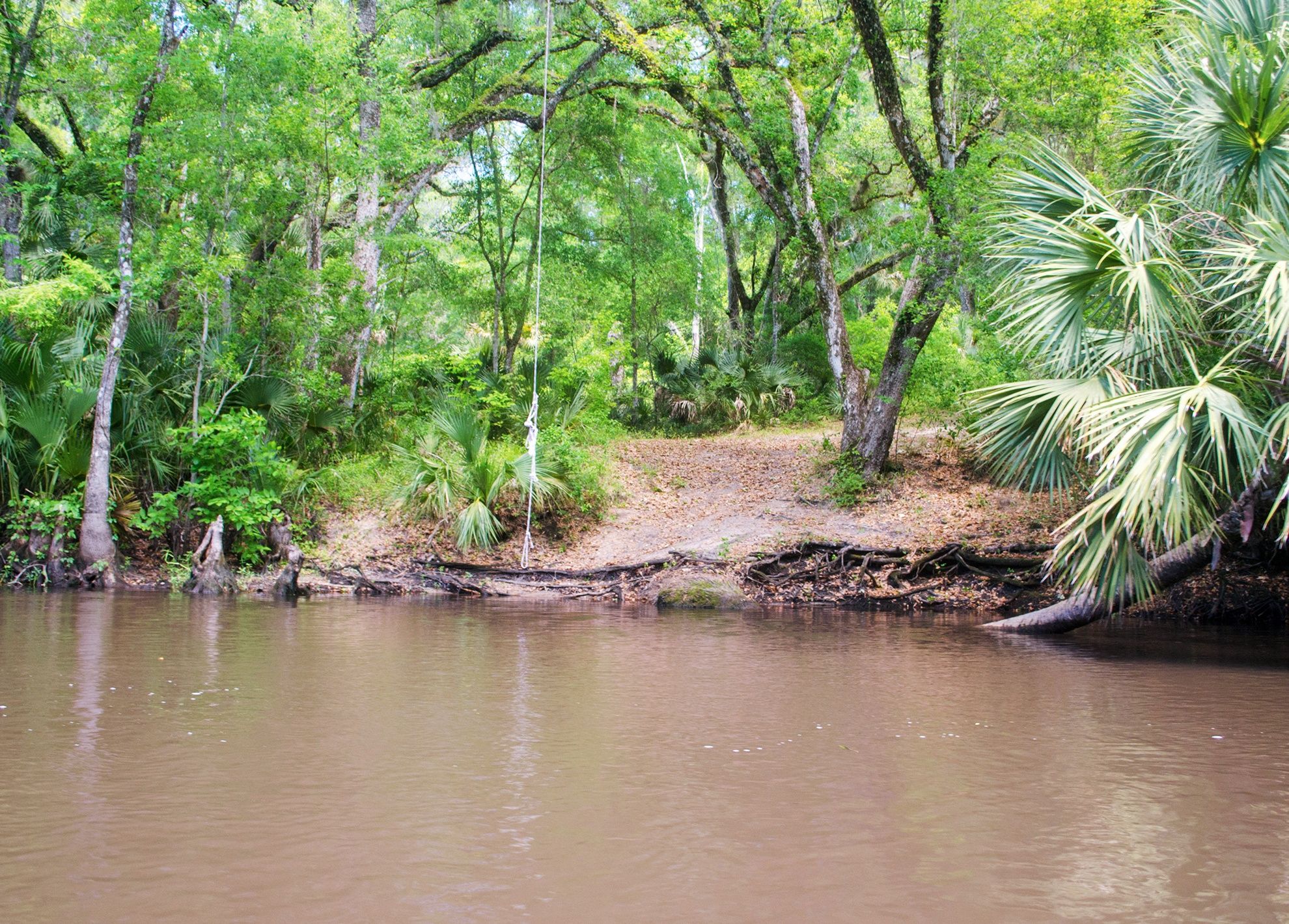
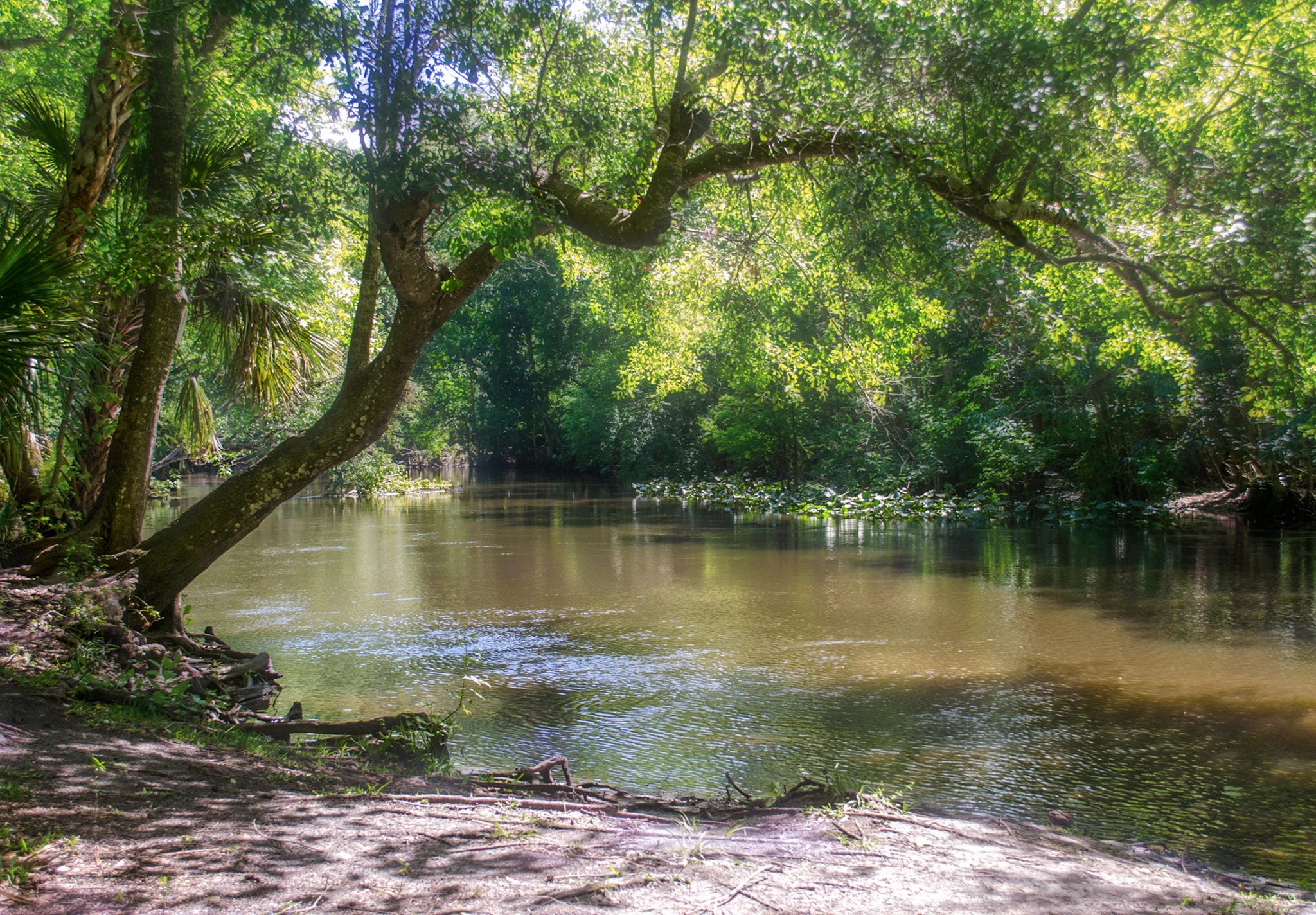
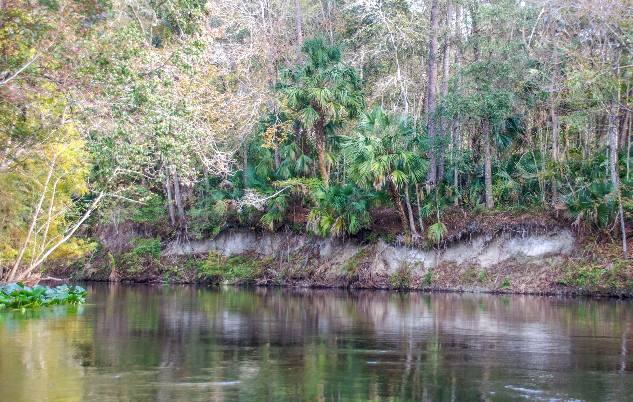
This is not a section of the Ocklawaha River that I would not suggest taking a pontoon boat. Our experience has shown that despite the beautiful scenery and wildlife there are numerous areas of downfall to maneuver and low-hanging trees that tend to make this section more of an obstacle course than a scenic, pleasant boat ride. We have paddled this section numerous times in a kayak and loved it, but simply did not enjoy it in the pontoon boat.
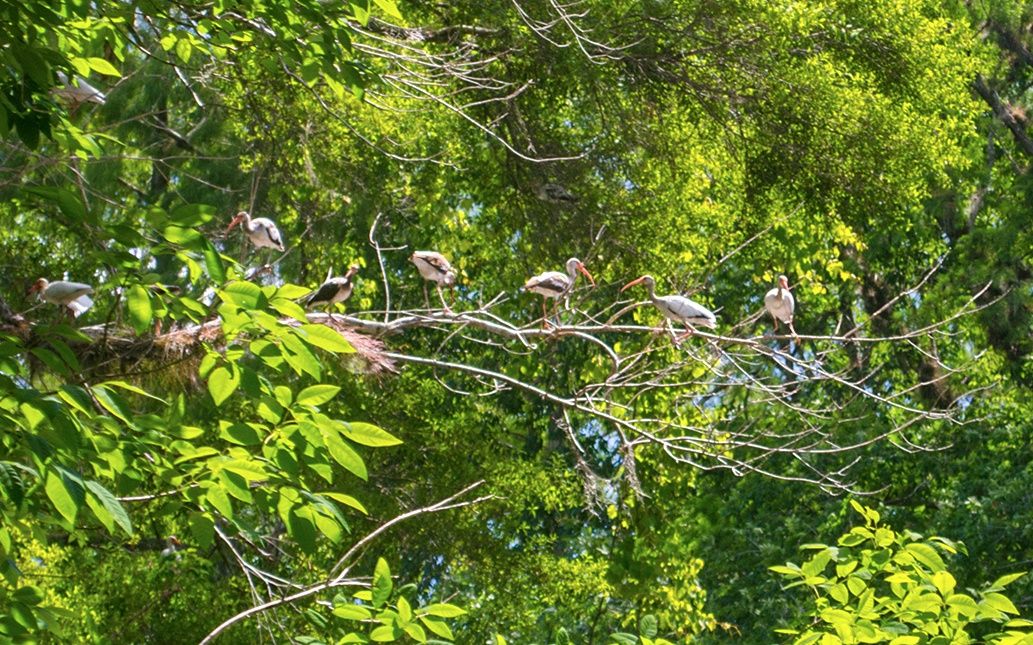
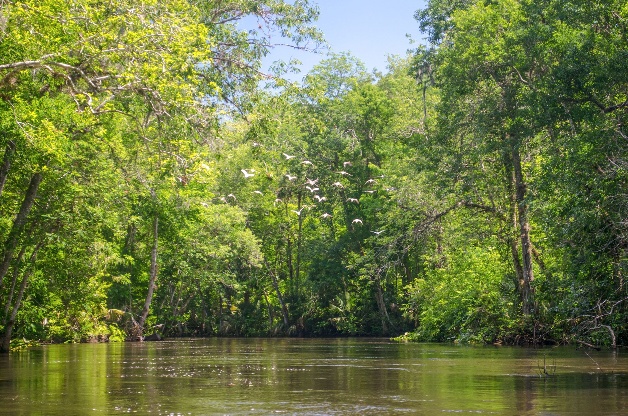
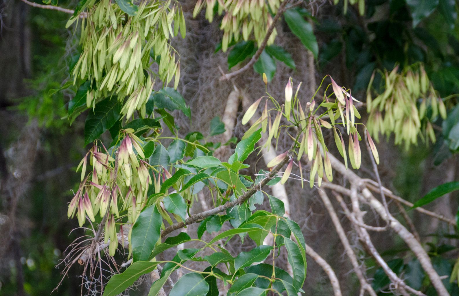
The section starts at Gores Landing and flows north 9.25 miles to the Eureka West boat ramp. Ibis are numerous along this section as are the Carolina Ash trees. There are several rest stops along the way that include Sunday Bluff and Piney Island, however, the water level was high enough that it made these two popular stops inaccessible. Our future plans are to continue to make this section a kayak route and save Pon Tiki for other sections…James
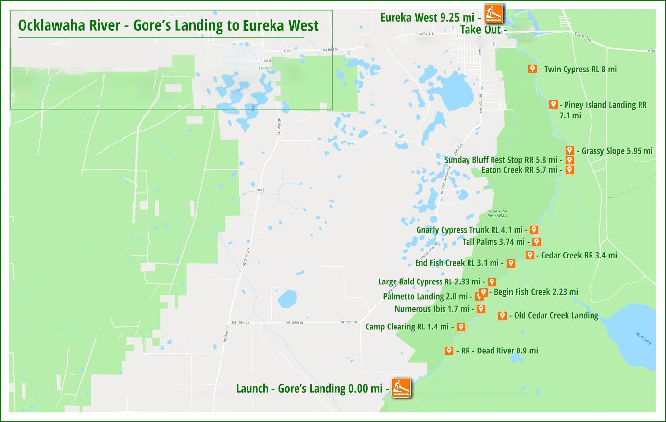
Gores Landing to Eureka West Notes
![]() Location: This section of the Ocklawaha River is located between Highway 40 East of Silver Springs and NE 98th St, about 5 miles south of Fort McCoy.
Location: This section of the Ocklawaha River is located between Highway 40 East of Silver Springs and NE 98th St, about 5 miles south of Fort McCoy.
![]() Boat Ramp:
Boat Ramp:
Gores Landing is located at 13800 NE 98th St., Fort McCoy, FL 32134
Phone:(352) 671-8560
Capacity:100 +
The ramp itself is concrete but rough, and best suited for small boats. There are restrooms and picnic/camping facilities.
Open Sunrise to Sunset and there is a $5.00 vehicle fee
![]() Distance: 9.25-miles one way, 21 miles round trip
Distance: 9.25-miles one way, 21 miles round trip
![]() Width and Depth: The river is quite winding in this section with an average width of 45′ – 115′. Water levels can range from a couple of feet to over 5′.
Width and Depth: The river is quite winding in this section with an average width of 45′ – 115′. Water levels can range from a couple of feet to over 5′.
![]() Current – Tidal: The Ocklawaha has a nice steady flow probably in the 3 mph range.
Current – Tidal: The Ocklawaha has a nice steady flow probably in the 3 mph range.
![]() Average Boating Speed: 4 mph, due to the maneuvering around downfall and overhangs.
Average Boating Speed: 4 mph, due to the maneuvering around downfall and overhangs.
![]() Rest Areas: Restroom facilities at the Gores Landing launch, and in scattered sections along the river, Sunday Bluff and Piney Island if the water level is low enough.
Rest Areas: Restroom facilities at the Gores Landing launch, and in scattered sections along the river, Sunday Bluff and Piney Island if the water level is low enough.
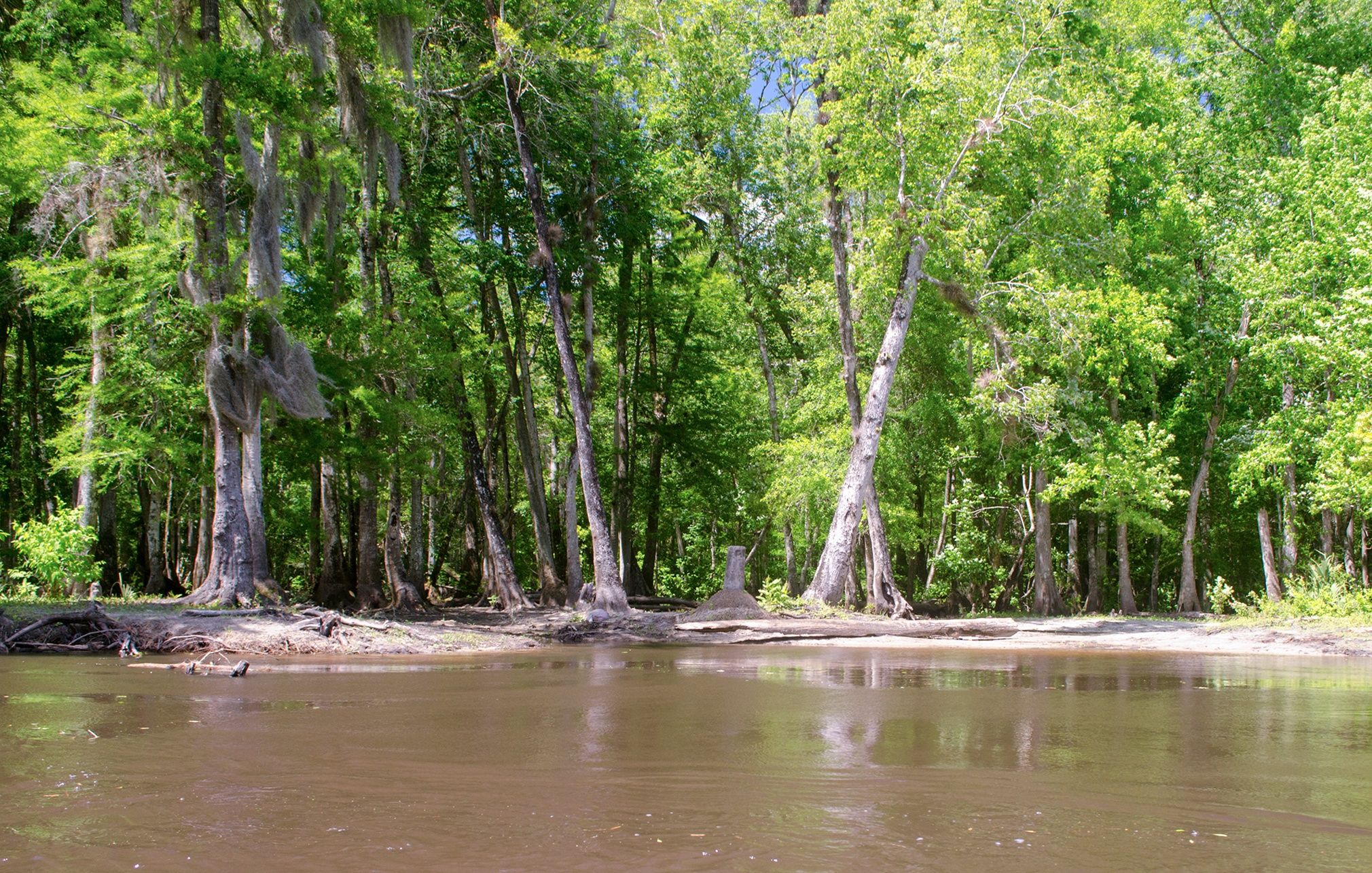
Sunday Bluff
During the 1880s there was a steamboat, sometimes two, leaving (Jacksonville ) to handle the tourist traffic. It was a run of 135 miles. Sunday Bluff was listed at mile 90 from Palatka (45 miles from Silver Springs Run). Eurika is 4 miles downstream. The vessels traveled at night as well as day…The trip to Silver Springs took two nights and a day and the mosquitoes were horrible.
In 1903 the Wilson Cypress Company established a railroad logging camp at Sunday Bluff. Seventy-five to one hundred men were employed here. Two-thirds of them were Afro-Americans. The engines for the train were from the New York Elevated Railways. The trees were girdled a year in advance to kill them and make them buoyant. The logs were dragged from the forests with overhead cables and loaded on flatcars. The logs were dumped from a trestle (seen south of the landing) into Eaton Creek. Around the landing area, they were tied into rafts 25’ wide by 30’ long. They were connected into 150-foot sections. Excerpts from Sunday Bluff History, fladefenders.org
Gores Landing to Eureka West Gallery


Guides, Maps & Info…
- Rodman Reservoir Topo Map…
- Ocklawaha Water Level Info at Eureka…
- Florida Defenders of the Environment – Remembering the Ocklawaha…
- Ocklawaha River – Remembered-Imagined…
- North Star Charters…Capt. Karen Chadwick…
- History of The Florida Barge Canal…
- Ditch of Dreams…
- History – Treaty of Paynes Landing…
- Ocklawaha Canoe Outpost & Resort…
- The Springs of the Ocklawaha River, Florida: Rodman Dam to Eureka Dam…
- An Ocklawaha River Information Mini-Page…
- Whitey Markle on the Ocklawaha River…
- Searching for—and Finally Finding—Cannon Springs, by Whitney Sanford…
- Save Rodman Reservoir, Inc…
- Free the Ocklawaha, Info, and Videos…
Additional Ocklawaha River Sections
Ray Wayside to Gores Landing | Gores Landing to Eureka West | Eureka West to Paynes Landing | Eureka West to Kenwood Boat Ramp
Additional Waterways
Crystal River | Homosassa River | Intercoastal Waterway | Lake Kerr | Lake Lochloosa | Pellicer Creek | Salt Springs | Santa Fe Lake | Silver Glen Springs | The Cedar Keys | The Ocklawaha River | The St Johns River | The Santa Fe River | The Silver River | The Suwannee River | The Rainbow River | Withlacoochee River
![]()