The St. Johns River

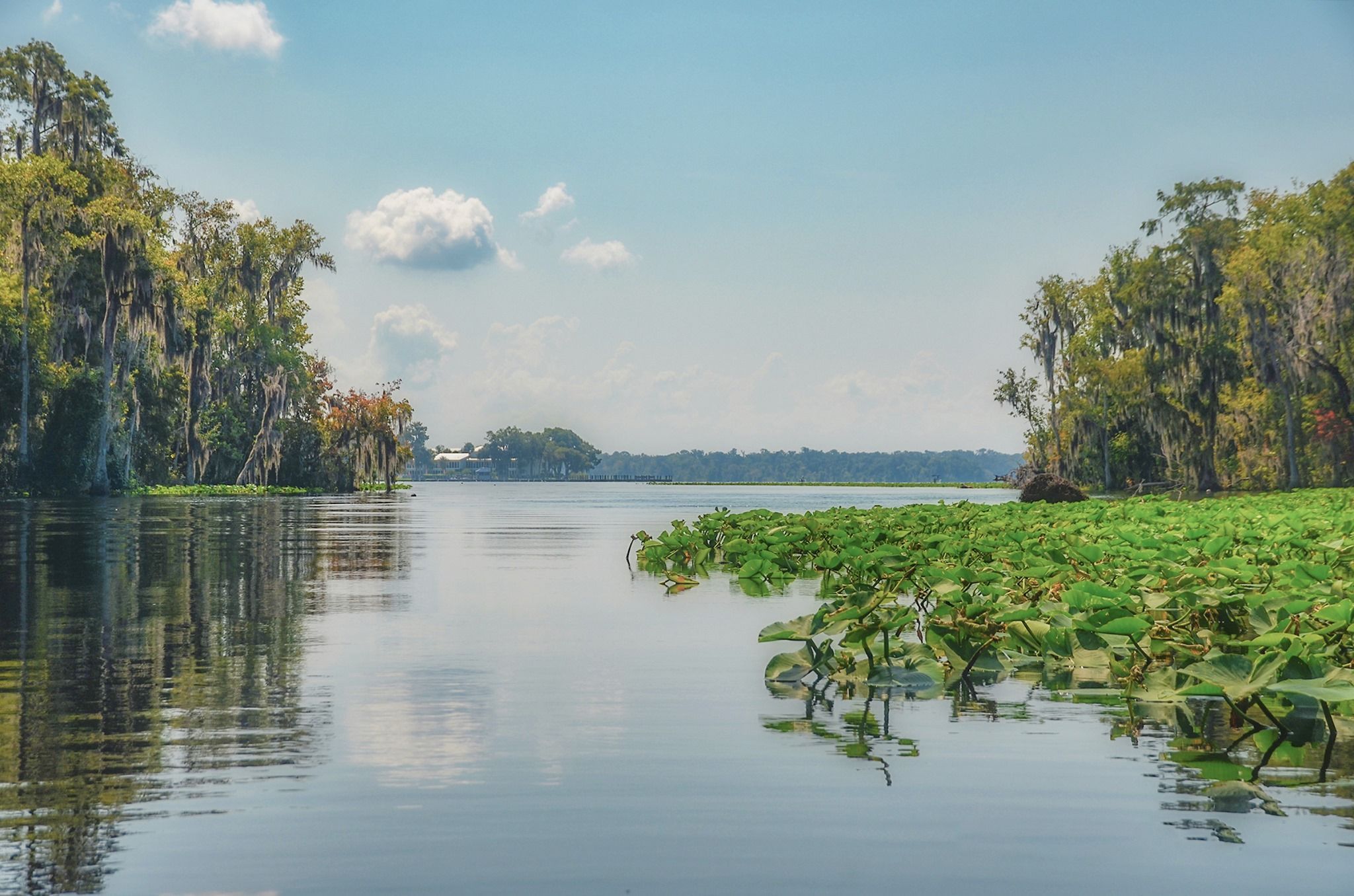
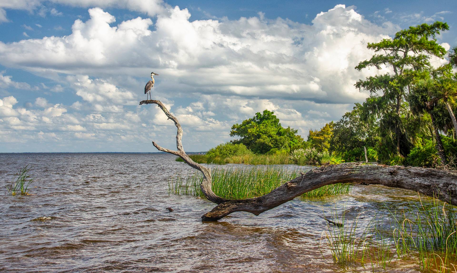
The St. Johns River is the longest river in the U.S. state of Florida and its the most significant one for commercial and recreational use. At 310 miles long, it flows north and winds through or borders twelve counties. The drop in elevation from headwaters to mouth is less than 30 feet; like most Florida waterways, the St. Johns has a very low flow rate of 0.3 mph and is often described as “lazy”.
Historically, a variety of people have lived on or near the St. Johns, including Paleo-Indians, Archaic people, Timucua, Mocama, French, Spanish, and British colonists, Seminoles, slaves and freemen, Florida crackers, land developers, tourists, and retirees. It has been the subject of William Bartram‘s journals, Harriet Beecher Stowe’s letters home, and Marjorie Kinnan Rawlings‘ books. In the year 2000, 3.5 million people lived within the various watersheds that feed into the St. Johns River.
The St. Johns River has been well documented by William Bartram as he traveled and explored this river, and one of our stops was at Rocky Point, where he camped and is listed as Site #27…

The St. Johns River Pontoon Notes
M Port Marina to Bryant’s Wharf – 15 miles
************
Palatka to Dunns Creek – 16 miles
************
Lake George Springs Run – 26 miles
************
Brown’s Landing to Norwalk Point – 35 miles
************
***The above distances are close approximations, based on our recorded logs and GPS
![]()
The St. Johns River Photo Gallery


Guides, Maps & Info…
- Lake George Topo Map…
- Lake George Water Level Data…
- Lake George Information…
- St Johns River…
- Renegades on the River…
- Notes on the Ocklawaha River…
- William Bartram and the Bartram Trail…
Crystal River | Homosassa River | Intercoastal Waterway | Lake Kerr | Lake Lochloosa | Pellicer Creek | Salt Springs | Santa Fe Lake | Silver Glen Springs | The Cedar Keys | The Ocklawaha River | The St Johns River | The Santa Fe River | The Silver River | The Suwannee River | The Rainbow River | Withlacoochee River
![]()