The Ocklawaha River

Rodman Dam to the St. Johns River
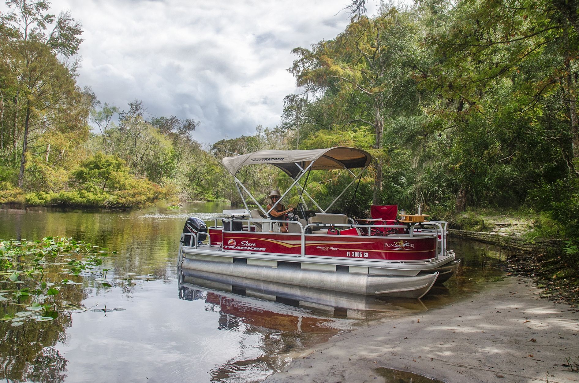
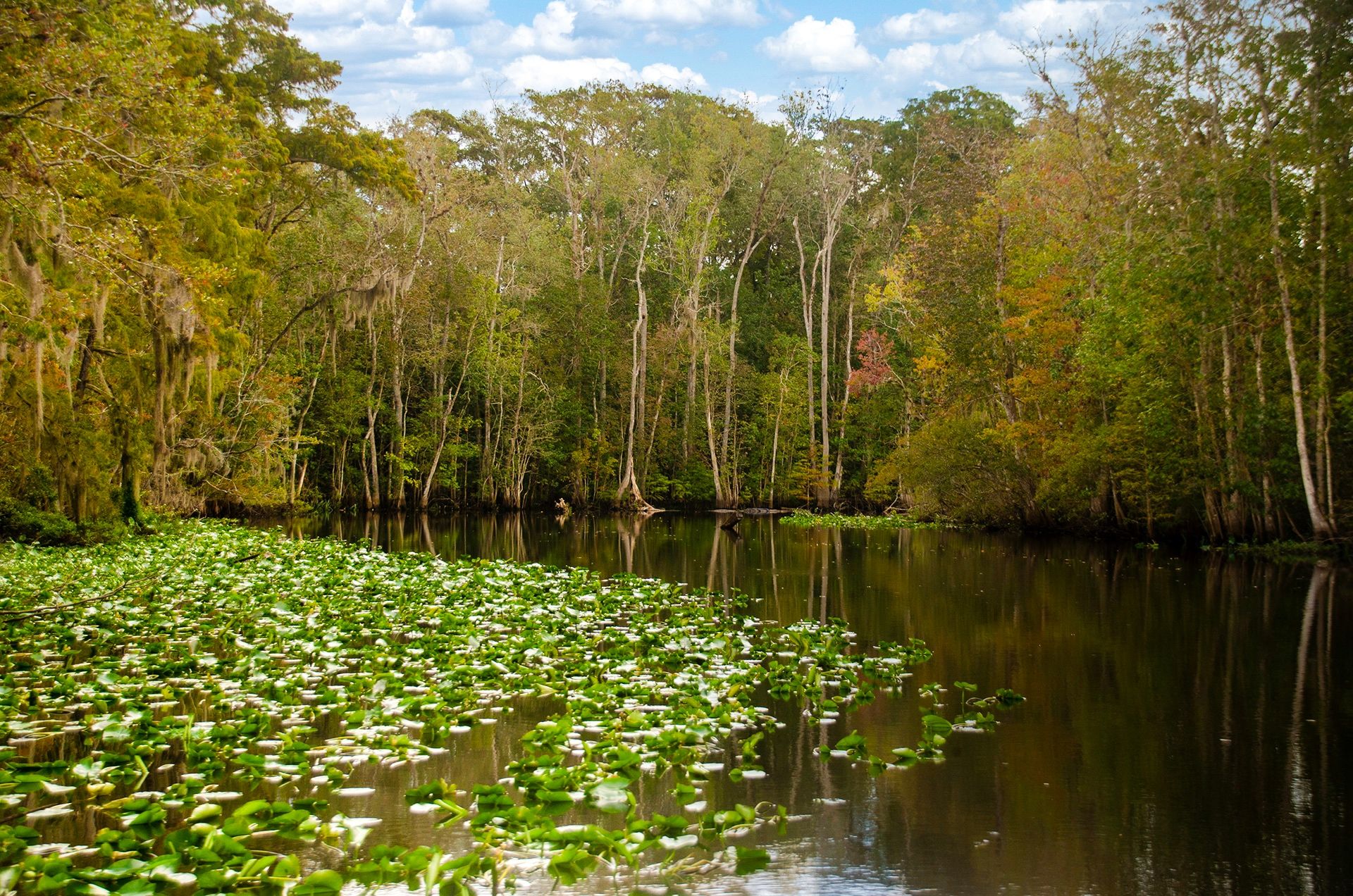
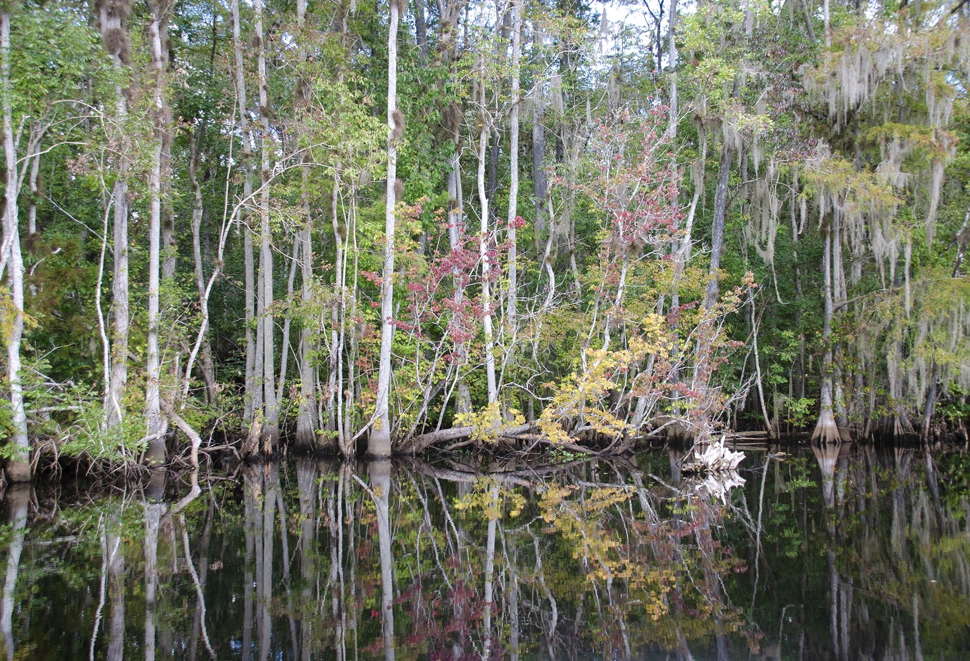
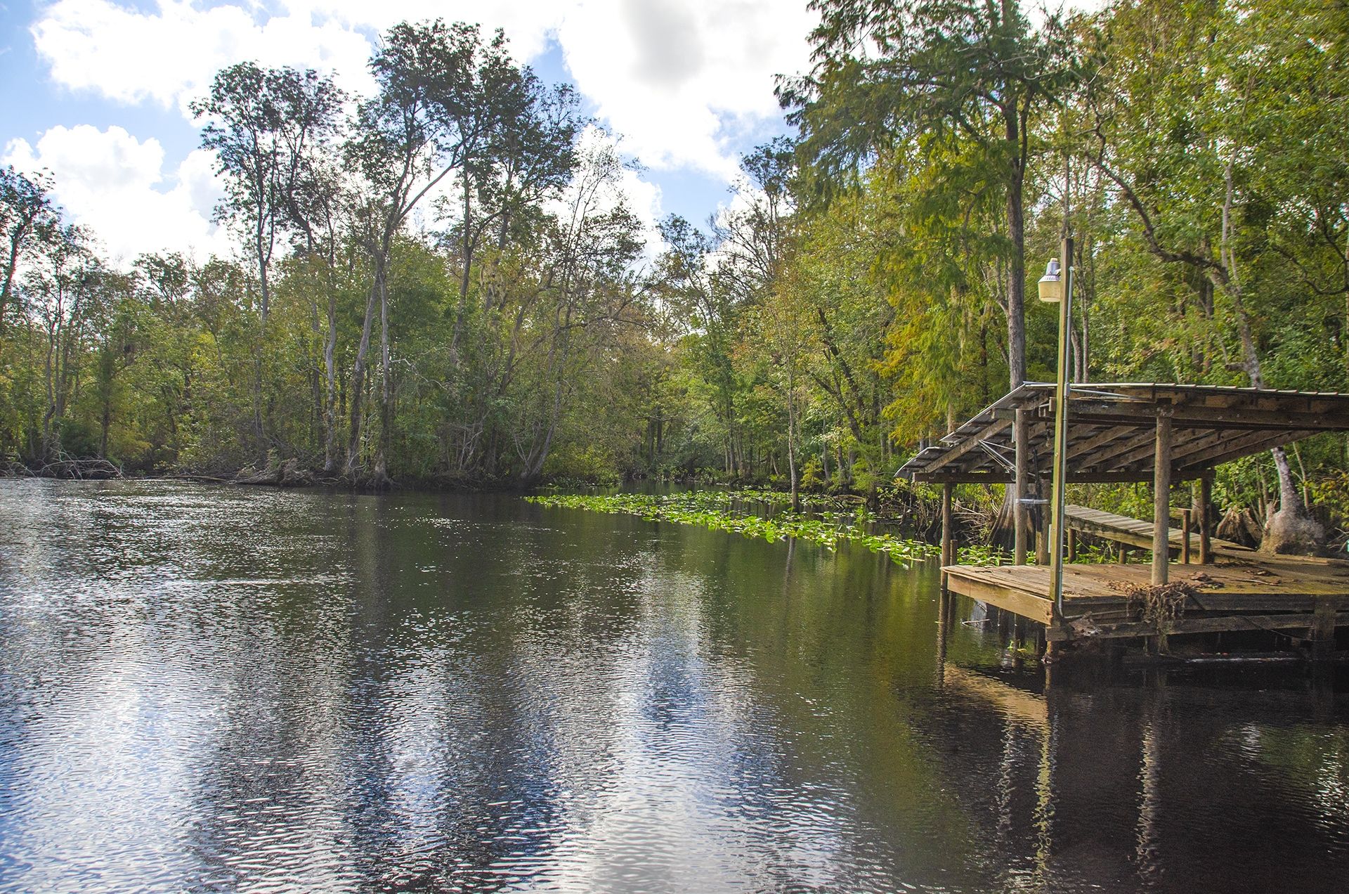
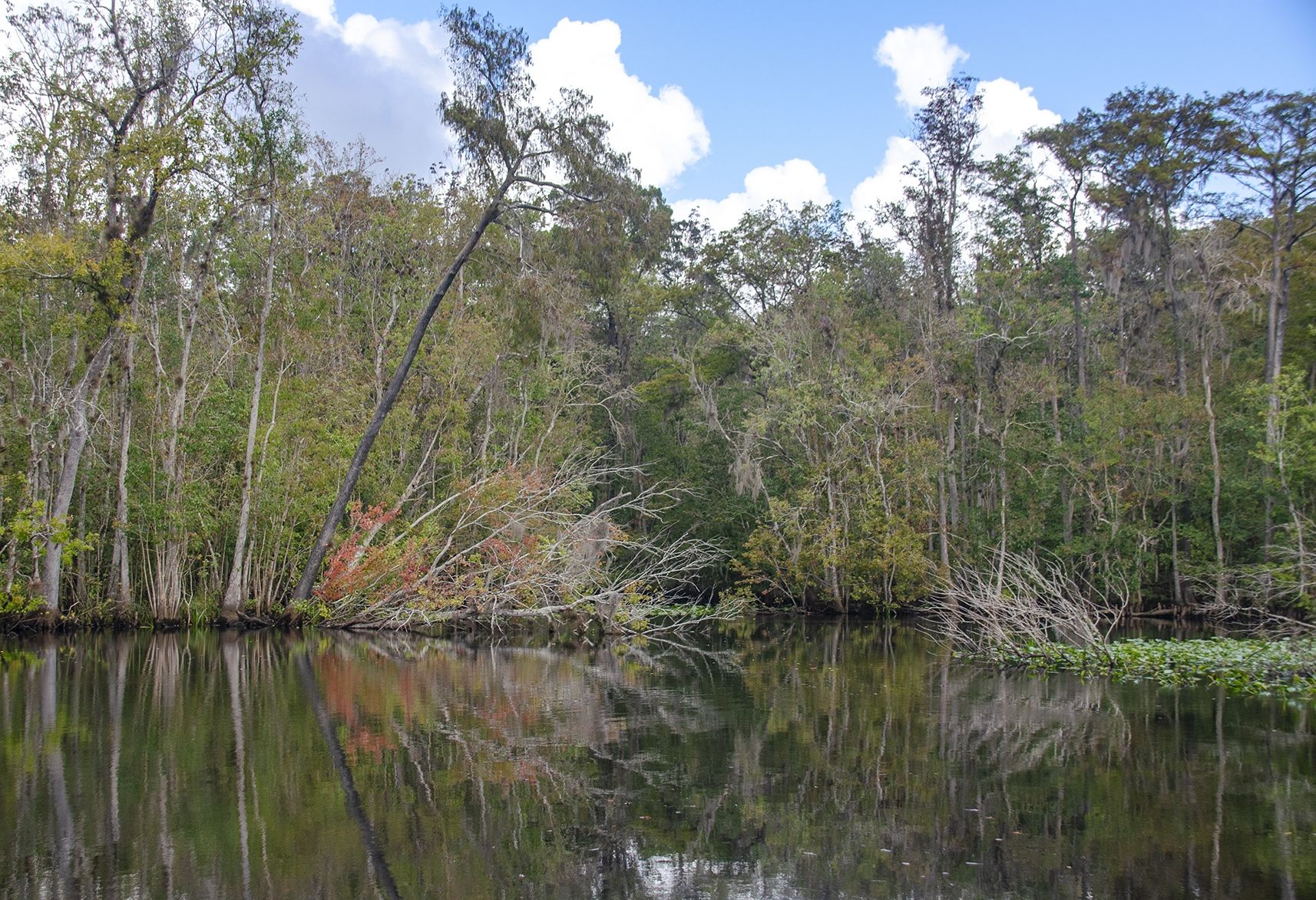
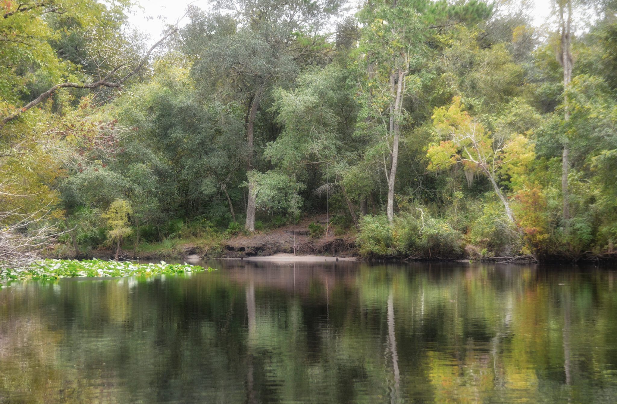
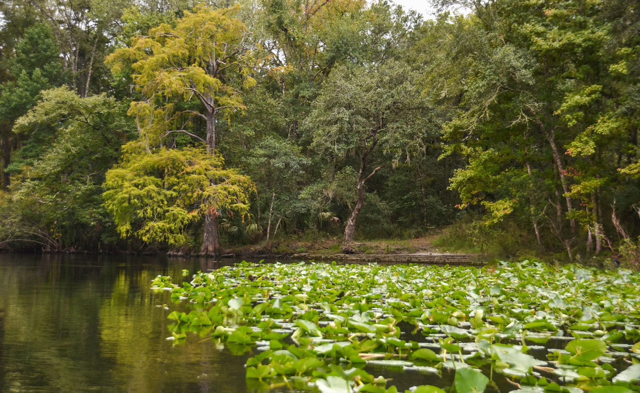
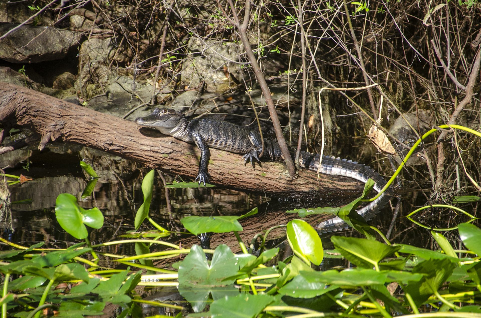
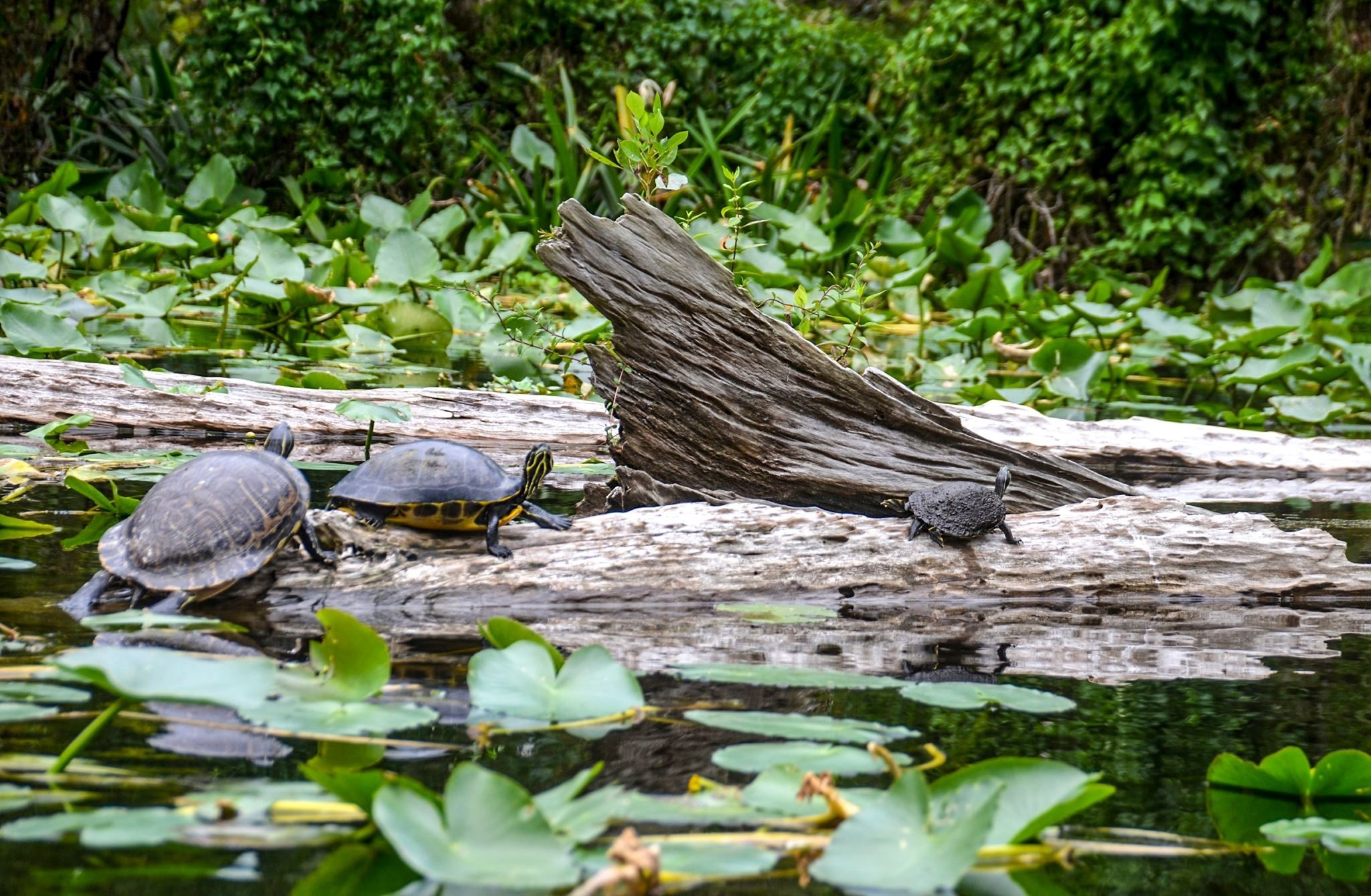
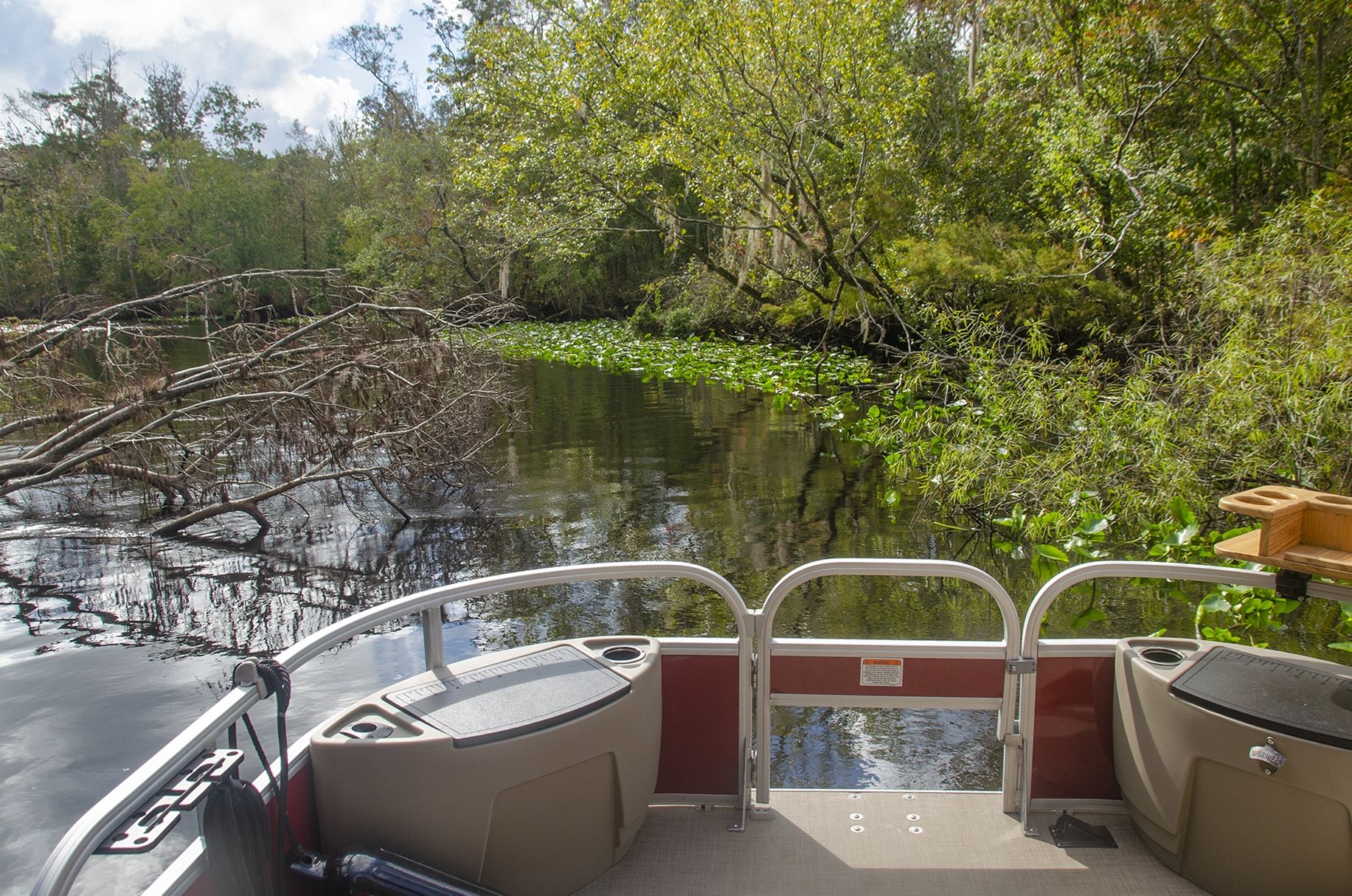
This is a nice trip. There is plenty of wildlife to see, Gators, Turtles, Herons, Egrets, and Ibis. Along the shoreline, there are numerous Scarlet Rose Mallows, Pink Swamp Mallows, Swamp Lillies, Climbing Asters, and Climbing Hempvine adding color along the way. In early Fall, Maples, Gums, and Cypresses add colorful splashes of red, orange, and yellow. As in all sections of the Ocklawaha River, be aware and look for the downfall. Usually, the crabbers have come in and cleared many of them ahead of time, but keep an eye out! And be aware of the numerous crab trap buoys along the entire route. Be sure to stop at Davenport Landing and enjoy a rest, as well as explore the sites at the top of the bluff…James
Rodman Dam to the St. Johns River Notes
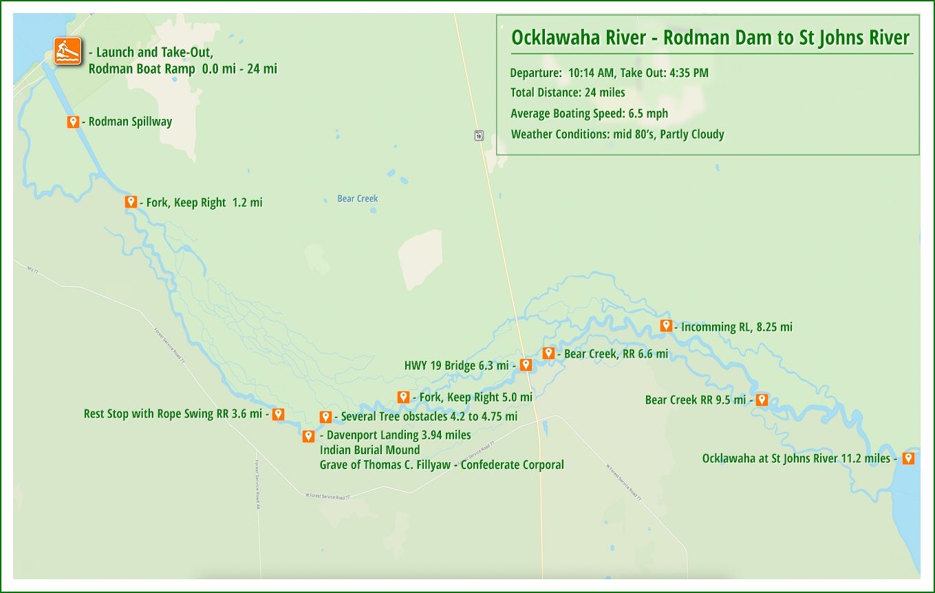
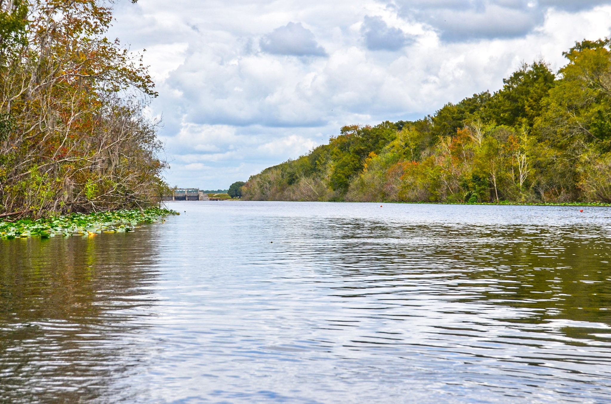
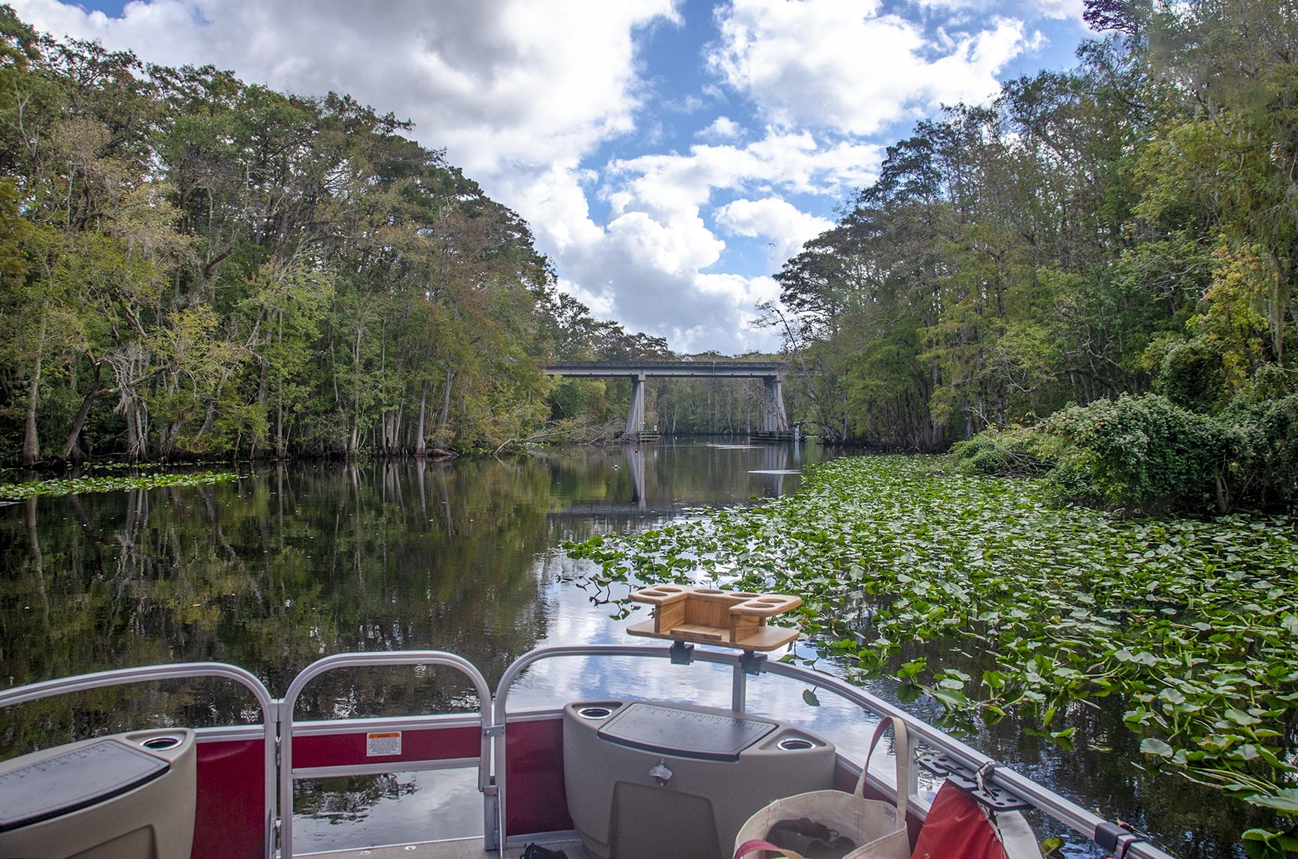
![]() Location: This section of the Ocklawaha River is located between the Rodman ( Kirkpatrick ) Dam, on Rodman Dam Road, Palatka, Fl, and The St. Johns River, 11.3 miles to the east.
Location: This section of the Ocklawaha River is located between the Rodman ( Kirkpatrick ) Dam, on Rodman Dam Road, Palatka, Fl, and The St. Johns River, 11.3 miles to the east.
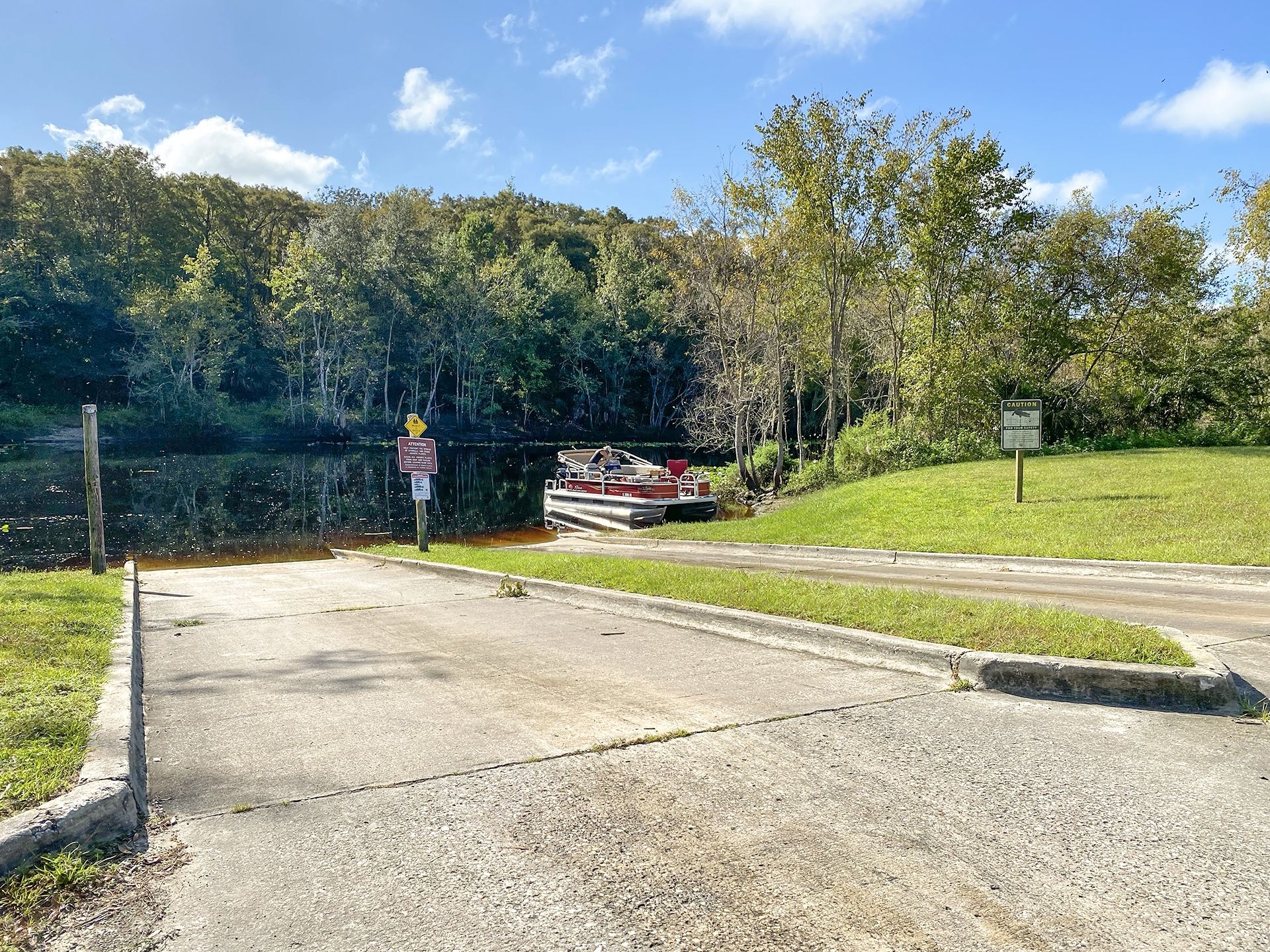
![]() Boat Ramp:
Boat Ramp:
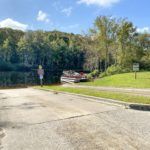
531 Rodman Dam Road, Palatka, Fl 32177, (352) 236-7143
Located on the southeast corner of Rodman Dam, this is a good stand-alone ramp. There are two concrete ramps in great condition and plenty of paved parking. Restroom facilities are there and there is no fee to launch.
There are no docks.
![]() Distance: 11.2-miles one way, 22.5 miles round trip
Distance: 11.2-miles one way, 22.5 miles round trip
![]() Width and Depth: The river averages between 85′ and 120′ wide. The average depth of the channel was around 10′ deep
Width and Depth: The river averages between 85′ and 120′ wide. The average depth of the channel was around 10′ deep
![]() Current – Tidal: There are no noted springs along this section of the river and depth is controlled by rainfall and Rodman Dam. The current was minimal.
Current – Tidal: There are no noted springs along this section of the river and depth is controlled by rainfall and Rodman Dam. The current was minimal.
.
![]() Average Boating Speed: We felt that running at 3000 – 3500 RPMs, roughly 7 miles per hour, provided for a nice trip, slowing down for occasional obstacles.
Average Boating Speed: We felt that running at 3000 – 3500 RPMs, roughly 7 miles per hour, provided for a nice trip, slowing down for occasional obstacles.
Gas Consumption: 3 gals. gas
![]() Rest Areas: Restroom facilities at the launch, Rodman Dam Boat Ramp, but nowhere, except at Davenport Landing.
Rest Areas: Restroom facilities at the launch, Rodman Dam Boat Ramp, but nowhere, except at Davenport Landing.
Davenport Landing
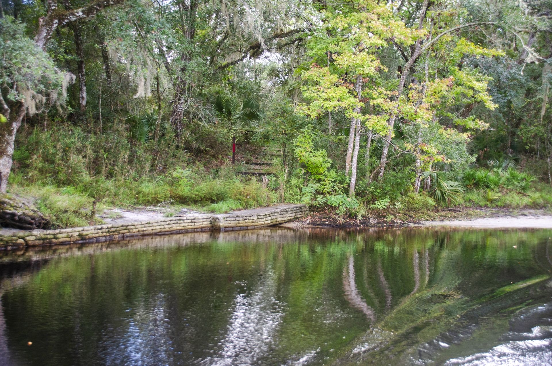
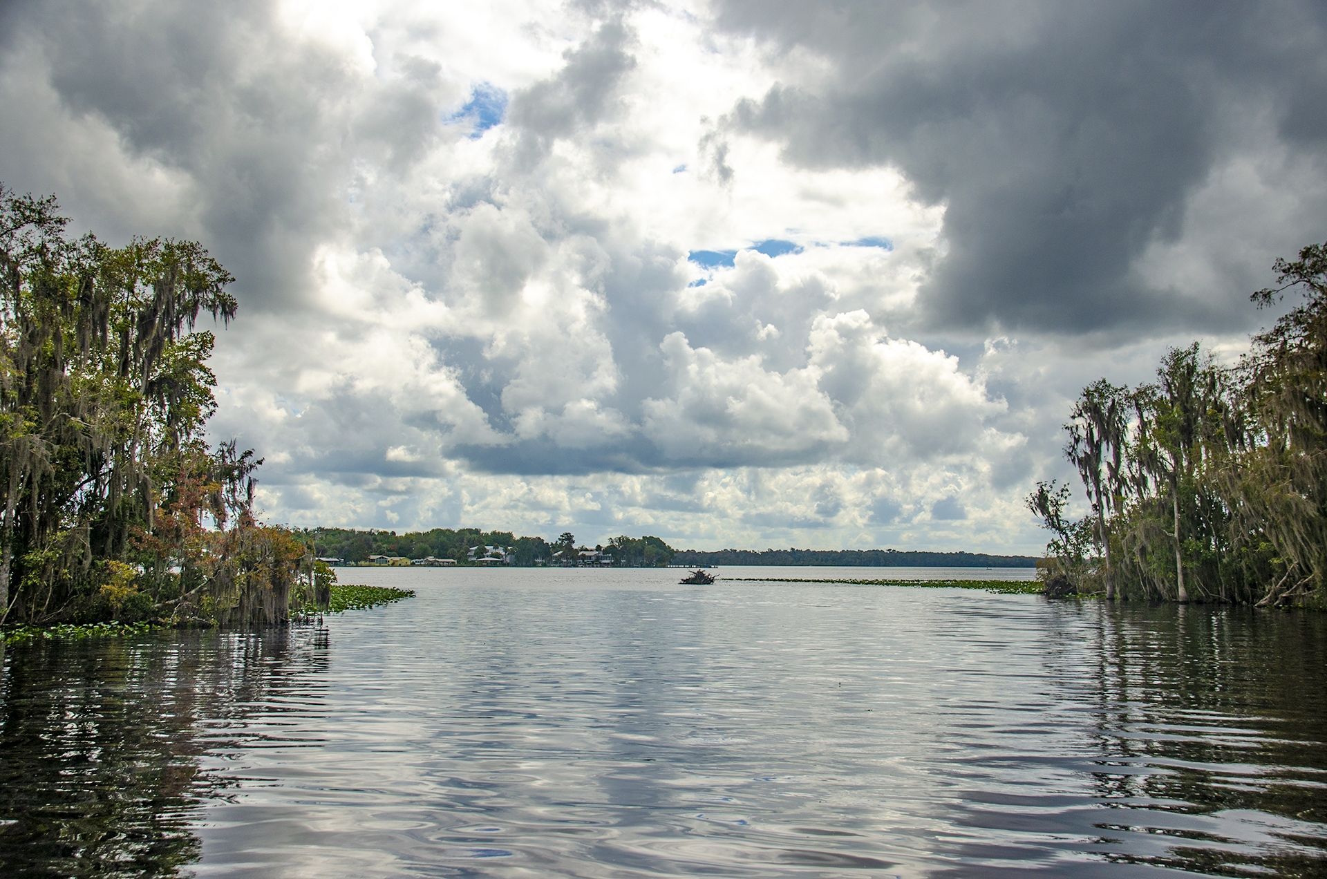
Davenport Landing is the site of an old riverboat stop as well as an Indian Burial Mound. During the steamboat era, this was the last landing on the Ocklawaha River in the 1800s – 1900s, before it reached the St Johns River. This was the last high bluff on the river and steamboats stocked up on lumber for their boilers and food. The ‘Landing Master‘ was Thomas C. Fillyaw, Confederate Corporal who died in 1873 and was buried at the landing. The burial mound dates back to being up to 1200 years old!
Davenport Landing is recognized from the river, around 4.5 miles, by a low, reinforced wall at the water’s edge to the right of a beautiful Cypress Tree. Remnants of the old landing were covered by the higher water and vegetation. A great place to stop and rest. The water is shallow with a sandy bottom and plenty of space for kayaks. A trip up the bluffs offers an exploration of the Indian Mound and the gravesite of Thomas C. Fillyaw.
Rodman Dam to the St. Johns River Gallery
Guides, Maps & Info…
- Rodman Reservoir Topo Map…
- Ocklawaha Water Level Info at Eureka…
- Florida Defenders of the Environment – Remembering the Ocklawaha…
- Ocklawaha River – Remembered-Imagined…
- North Star Charters…Capt. Karen Chadwick…
- History of The Florida Barge Canal…
- Ditch of Dreams…
- History – Treaty of Paynes Landing…
- Ocklawaha Canoe Outpost & Resort…
- The Springs of the Ocklawaha River, Florida: Rodman Dam to Eureka Dam…
- An Ocklawaha River Information Mini-Page…
- Whitey Markle on the Ocklawaha River…
- Searching for—and Finally Finding—Cannon Springs, by Whitney Sanford…
- Save Rodman Reservoir, Inc…
- Free the Ocklawaha, Info, and Videos…
Additional Ocklawaha River Sections
Ray Wayside to Gores Landing | Gores Landing to Eureka West | Eureka West to Paynes Landing | Eureka West to Kenwood Boat Ramp
Additional Waterways
Crystal River | Homosassa River | Intercoastal Waterway | Lake Kerr | Lake Lochloosa | Pellicer Creek | Salt Springs | Santa Fe Lake | Silver Glen Springs | The Cedar Keys | The Ocklawaha River | The St Johns River | The Santa Fe River | The Silver River | The Suwannee River | The Rainbow River | Withlacoochee River
![]()