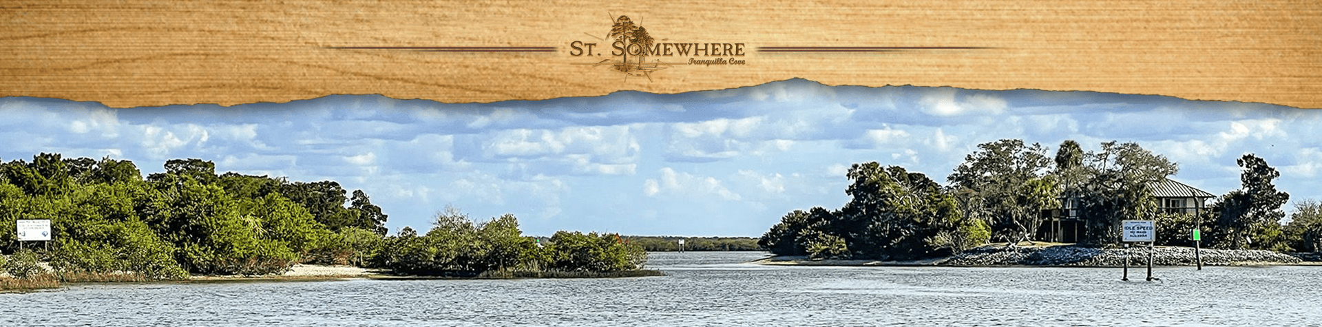
Homosassa River
![]()
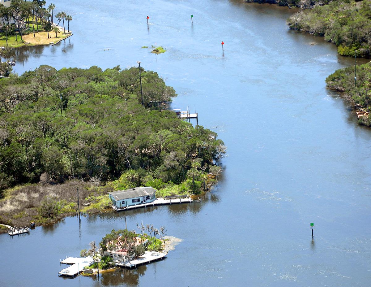
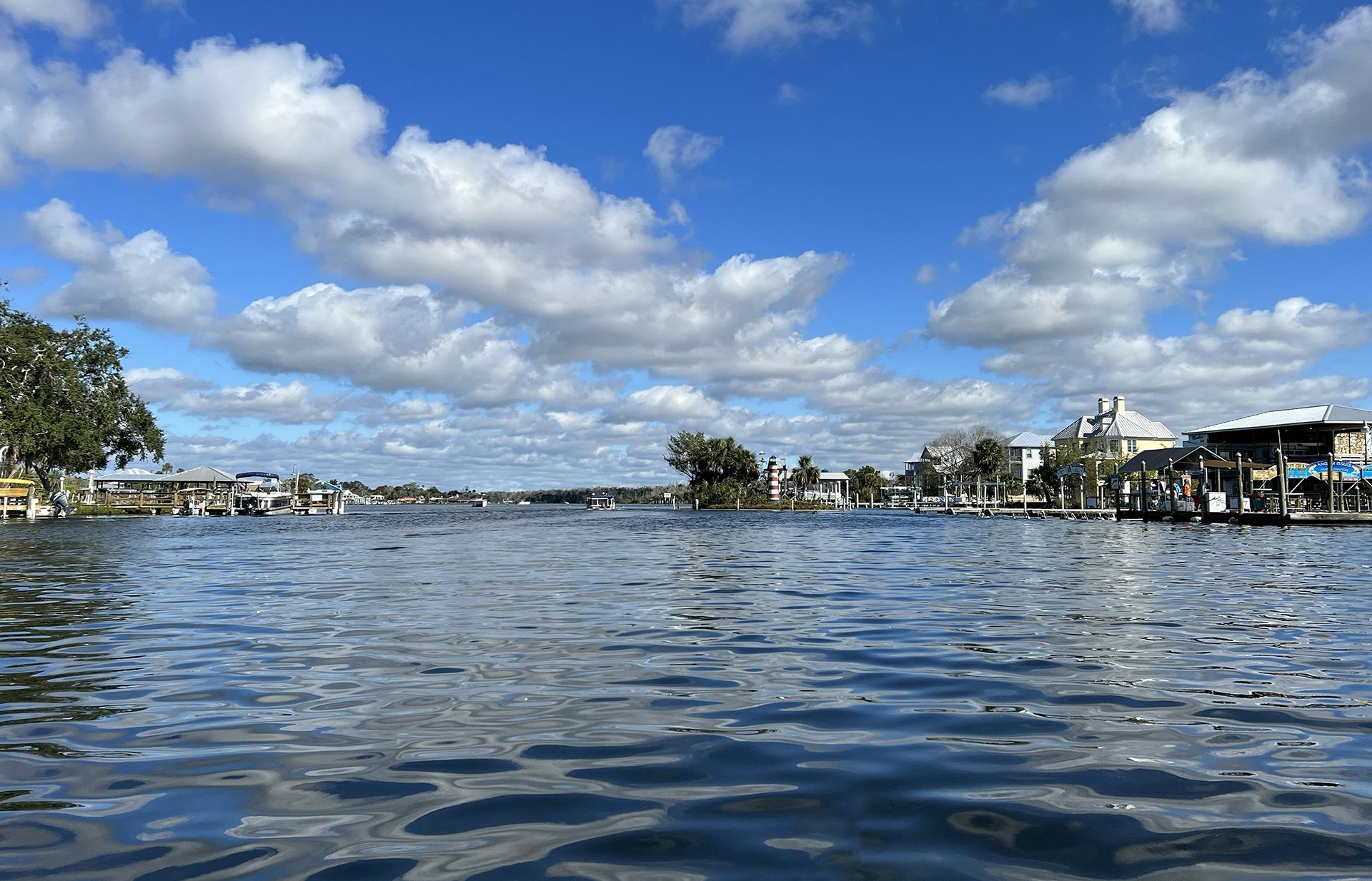
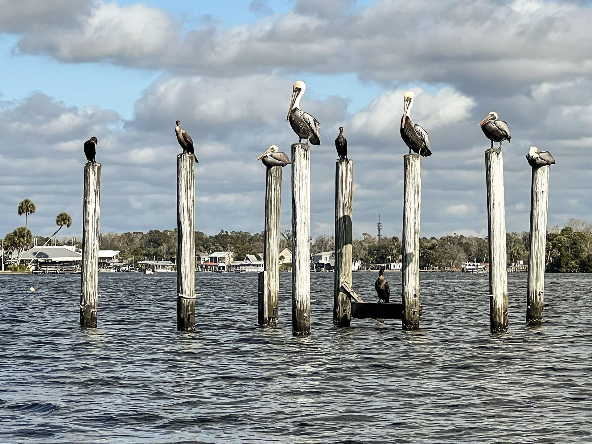
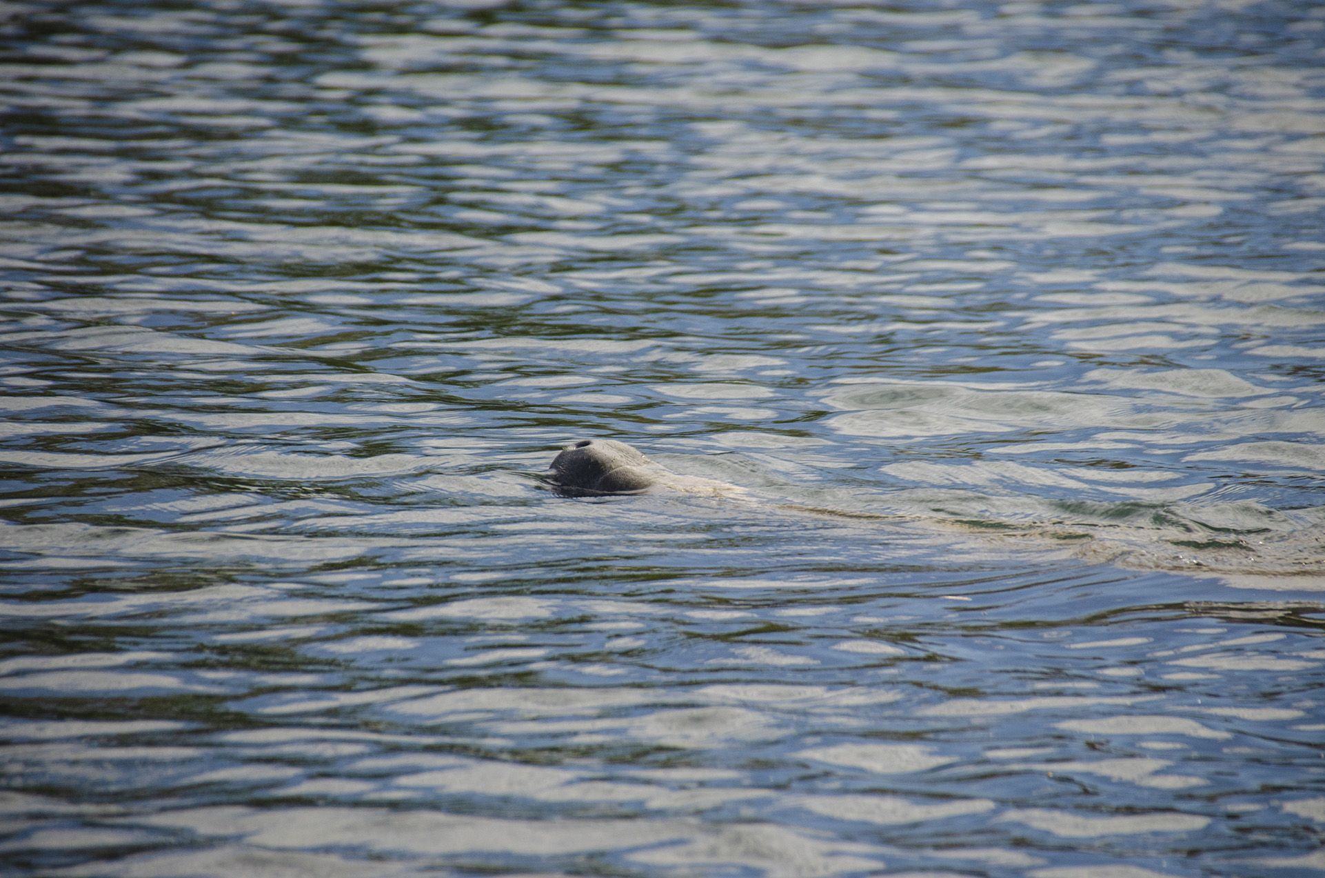
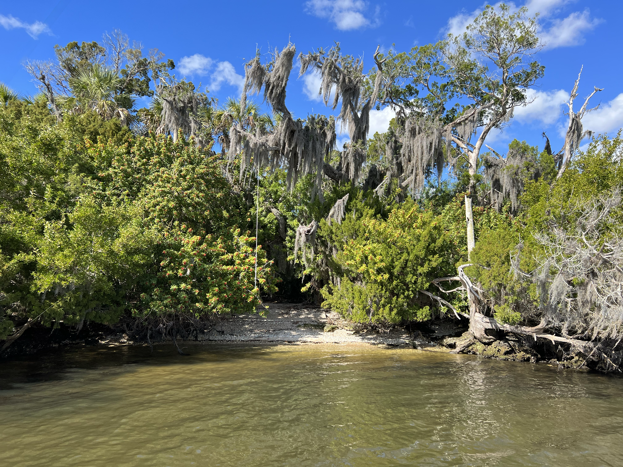
Homosassa River is a 7.7-mile-long river in Citrus County, Florida. Its headwaters are the Homosassa Springs, and from there it flows 8 miles west into the Gulf of Mexico. The river is home to common bottlenose dolphins, West Indian manatees, alligator snapping turtles, nine-banded armadillos, snakes, birds, eastern box turtles, oysters, raccoons, American alligators, Virginia opossums, North American river otters, and many species of both freshwater and saltwater fish. The Homosassa River is an estuary, which means that as it moves inland, it changes from saltwater to fresh very gradually, and the river is brackish. The river is good for canoeing and kayaking.
Homosassa is one of Florida’s top sportfishing destinations and a working commercial fishing port on the Gulf of Mexico.
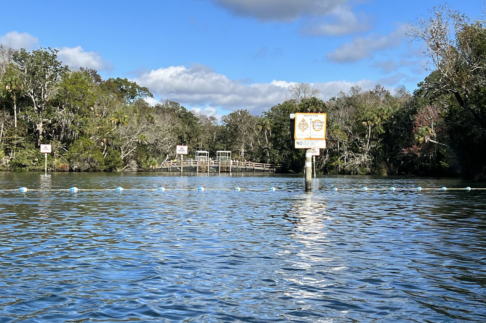
The Homosassa mainspring is the largest in the Homosassa Springs Group, which is comprised of nearly thirty springs. Collectively, this group discharges around 65 million gallons of water daily, qualifying this group as a first-magnitude spring and one of the largest springs in Florida. The water boiling out of the 40-foot basin arrives here from the Homosassa springshed that covers about 270 square miles across Citrus and Hernando counties. These springs form the head of the Homosassa River, which calmly flows west for about eight miles before reaching the Gulf of Mexico.
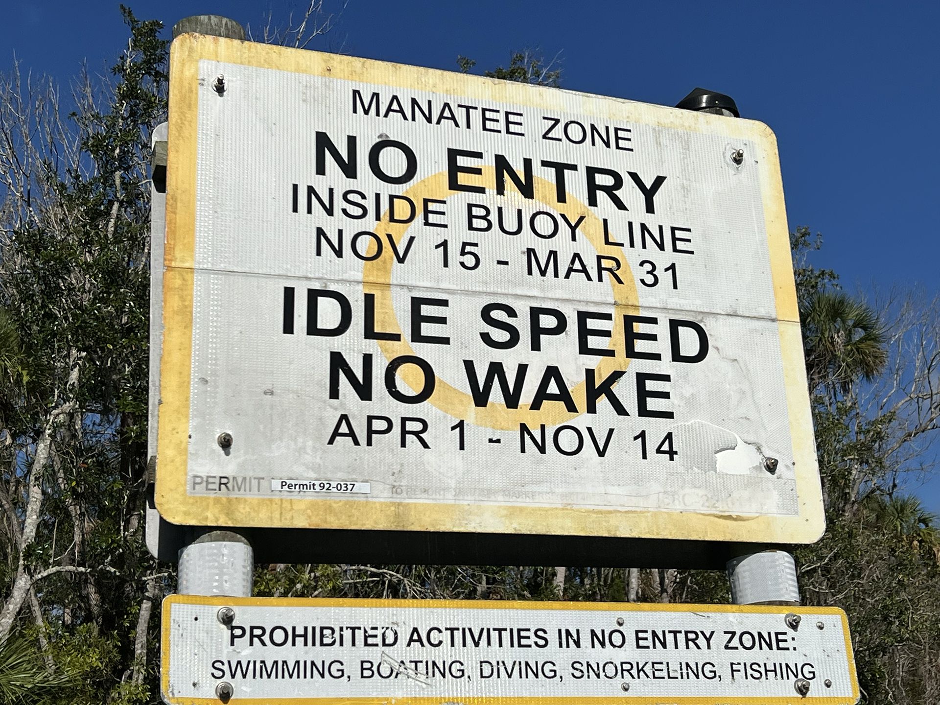
One of the unique features of the Homosassa headspring is that the main vent flows from three points underground with each vent having different salt content and water quality. The three sources blend together in the basin before exiting down the spring run and into the Homosassa River. Given this, the Homosassa Spring is filled with a variety of saltwater and freshwater fish species but is perhaps best known for its historic value as a warm water haven for wintering West Indian manatees. ( Wikipedia )
Homosassa River Notes
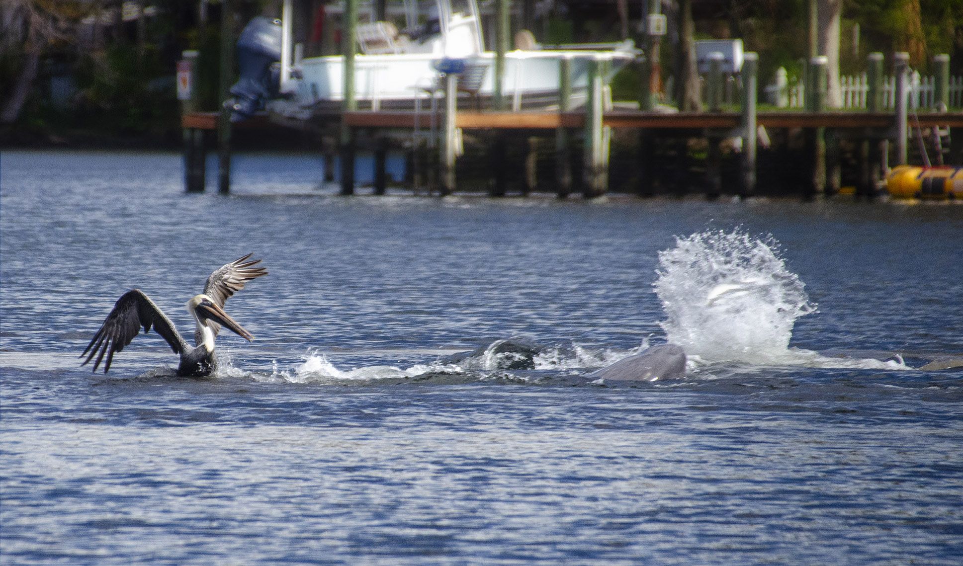
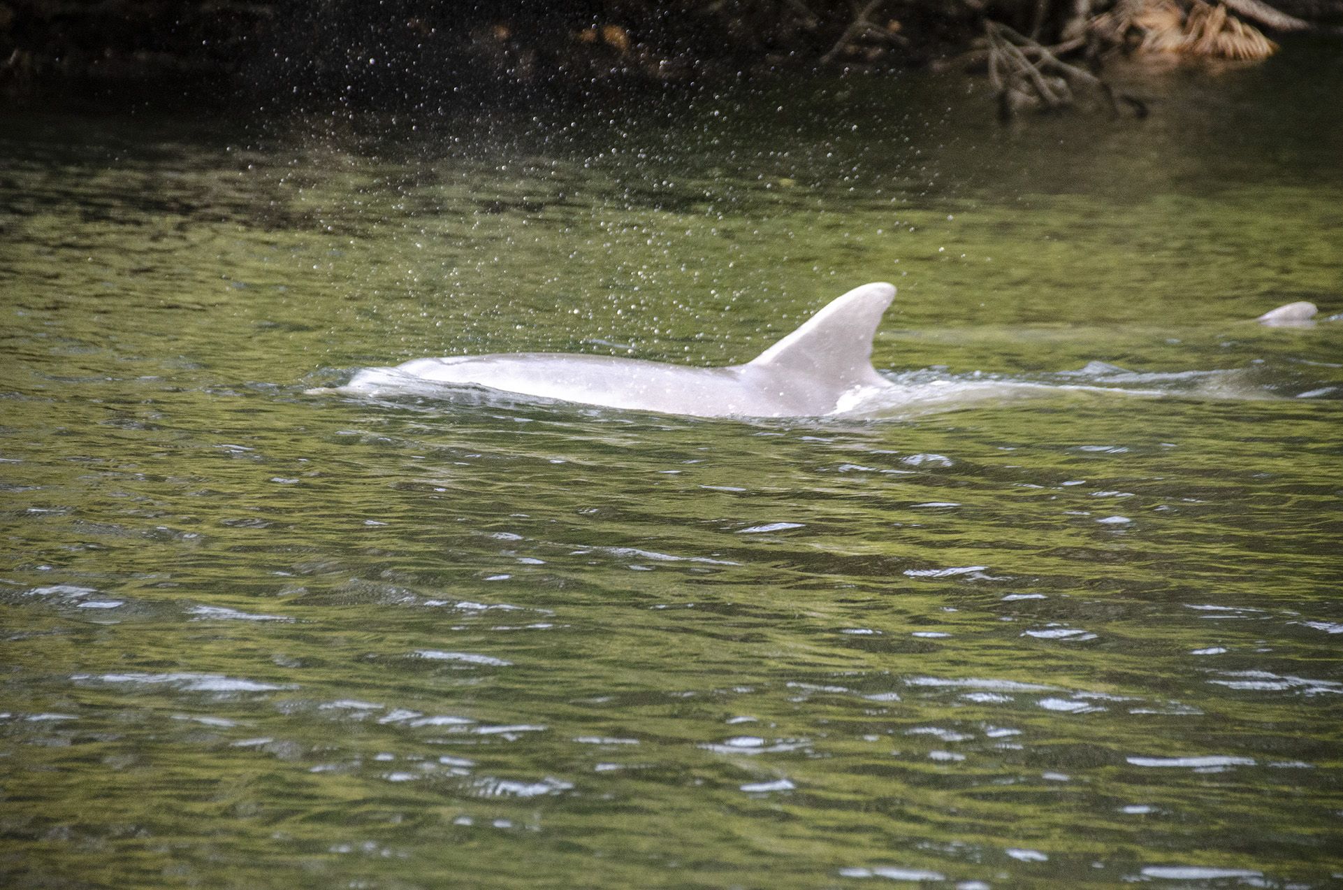
This was our first trip on the river. We enjoyed viewing numerous manatees up near the headspring. Also along the way, we were treated to Bottle Nose & Risso’s Dolphins feeding on Mullet. We observed plenty of pelicans, gulls, cormorants, osprey, and heron.
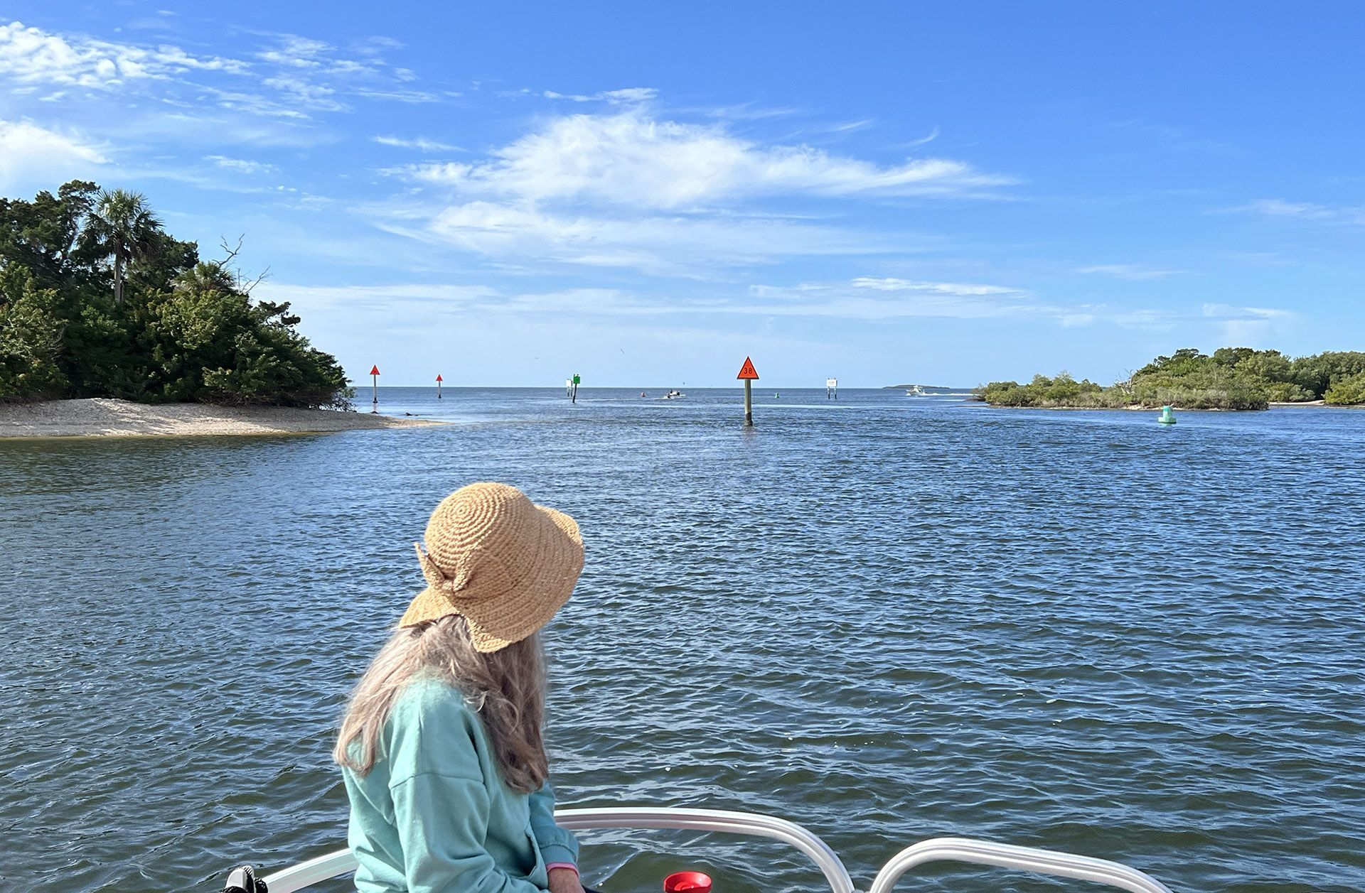
Depending on the day of the week, this can be a very busy river. Fishing boats, sport boats, pontoon boats, kayaks, and canoes can be found, especially in the five-mile stretch from the headspring to Dreamcatcher Island. We found some of the fishing boats cruise quite quickly through here and have little patience for slow cruising pontoon boats. It is important to observe the tides as well as to stay in the channel. The Homosassa River is a rocky bottom river and a couple of rock hazards have notoriety around the area, most notably ‘Million Dollar Rock‘ located near Marker 47. Pay attention to tides and boat traffic and you will enjoy this river!… James
![]() Boat Ramp:
Boat Ramp:
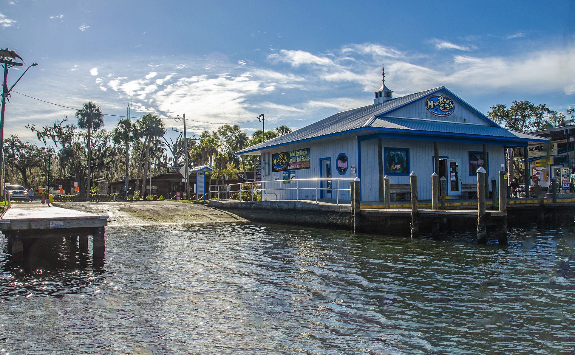
- Double concrete ramp with dock
- No fee
- Restrooms.
- Small-item store with boat rentals
- Parking for trailers just up the road 1 block.
![]() Distances:
Distances:

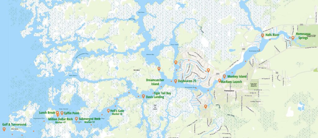
- MacRae’s to Hall’s River – 1.4 mi
- MacRae’s to Homosassa headspring – 2.2 mi
- Homosassa headspring to the Gulf – 7.9 mi.
- MacRae’s to Price Creek – 1.1 mi
- MacRaes to Dreamcatcher Island – 1.4 mi
- MacRae’s to Tiger Tail Bay – 1.65 mi
- MacRae’s to Davis Landing – 1.9 mi
- MacRae’s to Hell’s Gate – 2.85 mi
- MacRae’s to Coffin Point – 4.15 mi
- MacRae’s to the Gulf – 5.65 mi
![]() Width and Depth:
Width and Depth:
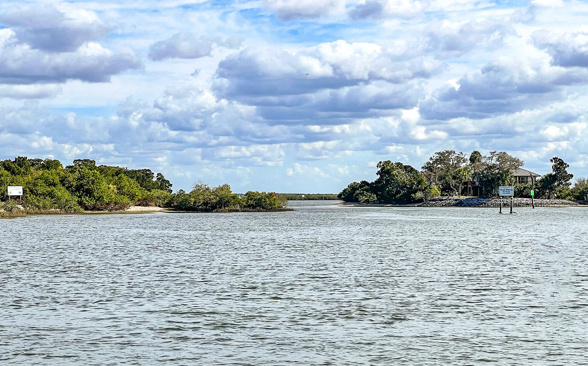
The river varies in width as well as depth. At the launch ( MacRae’s ) the river is approx 250′ wide and extends to 875″ before returning to 250′ at the headspring. Toward the Gulf, the width is variable from 200′ to 600′ wide. Depth’s vary according to the tide and it is important to not only know the tides but to keep in the channel.
![]() Current – Tidal: Tides are important to note as they fluctuate a few feet! It is very important to remain in the channel at all times.
Current – Tidal: Tides are important to note as they fluctuate a few feet! It is very important to remain in the channel at all times.
![]() Average Boating Speed: There are several ‘No-Wake’ zones but also several sections that we took it up to 10 mph. Boat traffic can be heavy at times with a speed limit of 25 mph, which was 8 mph higher than Pon Tiki cruises.
Average Boating Speed: There are several ‘No-Wake’ zones but also several sections that we took it up to 10 mph. Boat traffic can be heavy at times with a speed limit of 25 mph, which was 8 mph higher than Pon Tiki cruises.
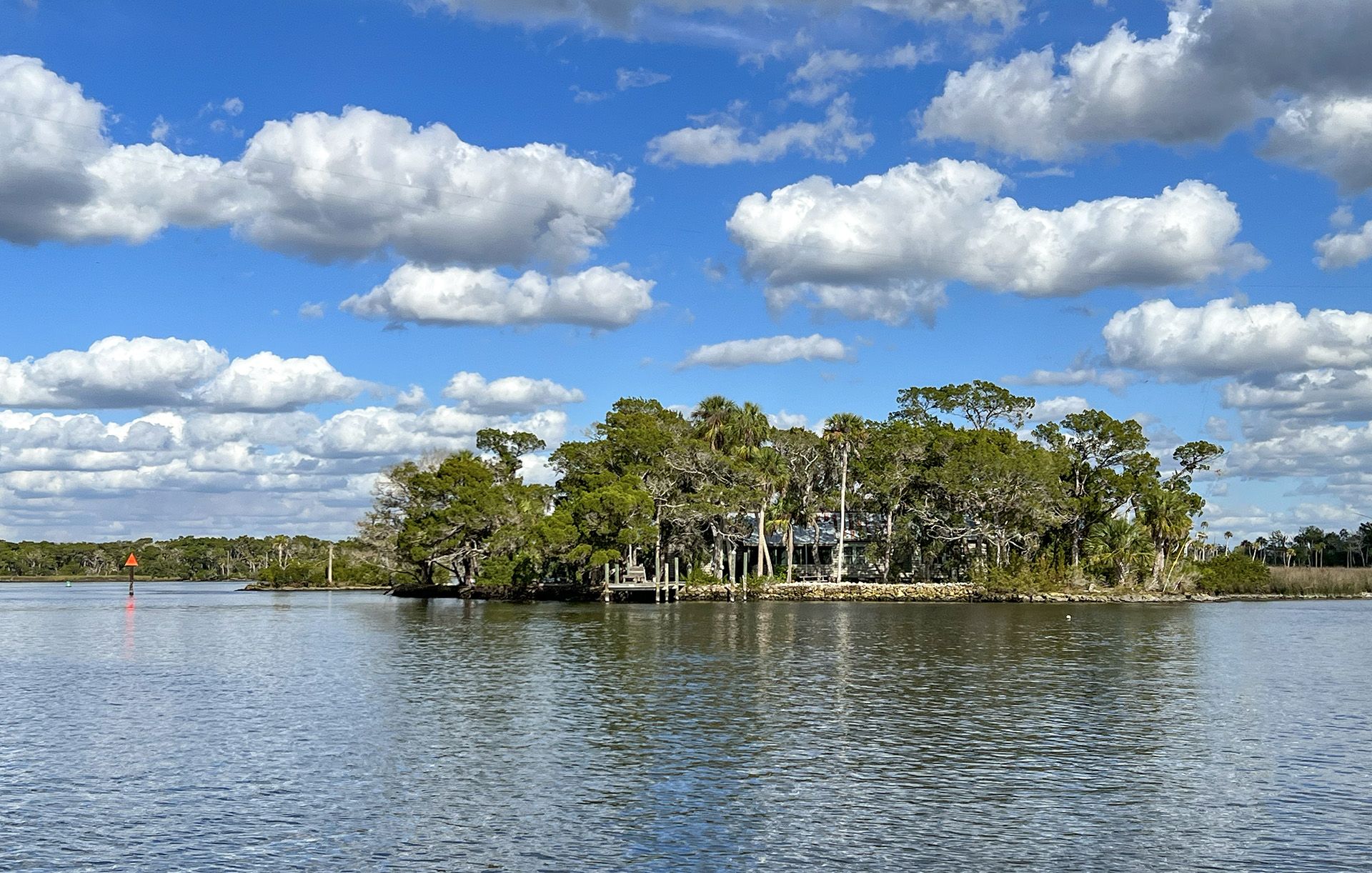
![]() Rest Areas: We stopped for lunch at an area across from Coffin Point at marker 47. There was a nice spot to anchor. We did not go on shore as we realized there was a dock on the other side of the key and we did not want to trespass.
Rest Areas: We stopped for lunch at an area across from Coffin Point at marker 47. There was a nice spot to anchor. We did not go on shore as we realized there was a dock on the other side of the key and we did not want to trespass.
Monkey Island

Monkey Island is a small island in the Homosassa River next to the Florida Cracker Riverside Resort and downtown “Old” Homosassa Florida. The island was originally created when G. A. Furgason, a developer of the Homosassa area, hired a dragline operator to create the island from a pile of rocks submerged during high tide in order to keep boats from running aground. The island derives its name from the monkeys relocated to the island from the Homosassa Springs Wildlife Park in the 1960s. The monkeys were moved from the park due to their “problematic” behavior, including stealing candy, entering cars, and biting visitors. The river acts as a natural fence because the monkeys prefer not to swim. Currently, three spider monkeys inhabit the island, two of which are from the original relocation. The island contains a lighthouse, Cedar trees, and a monkey “playground”. They are fed fresh fruit daily by staff members.
Hell’s Gate & Million Dollar Rock
Hell’s Gate is a 1/4 mile stretch of the Homosassa where the river is less wide and there is a narrow channel for navigation. Located around marker 58. Due to it being very narrow, with vessels traveling at speed, boaters can be forced upon the rocks to avoid other boaters who are not paying attention, and the danger is compounded by anchored buoys that drift out of place with heavy boat traffic.
Million Dollar Rock is a rock located at Marker 47. Boats strike it and either run hard aground, damage their props and drives or punch through their hulls, causing cracks and holes that can sink even the most seaworthy vessel. The million-dollar moniker derives from the cost of repairs over the years that the rock has inflicted on hapless boaters despite the channel being clearly marked. See the prop sculpture at Riverhaven Marina.
Homosassa River Photo Gallery

Guides, Maps & Info…
Crystal River | Homosassa River | Intercoastal Waterway | Lake Kerr | Lake Lochloosa | Pellicer Creek | Salt Springs | Santa Fe Lake | Silver Glen Springs | The Cedar Keys | The Ocklawaha River | The St Johns River | The Santa Fe River | The Silver River | The Suwannee River | The Rainbow River | Withlacoochee River
![]()