The Ocklawaha River

Eureka West to Paynes Landing
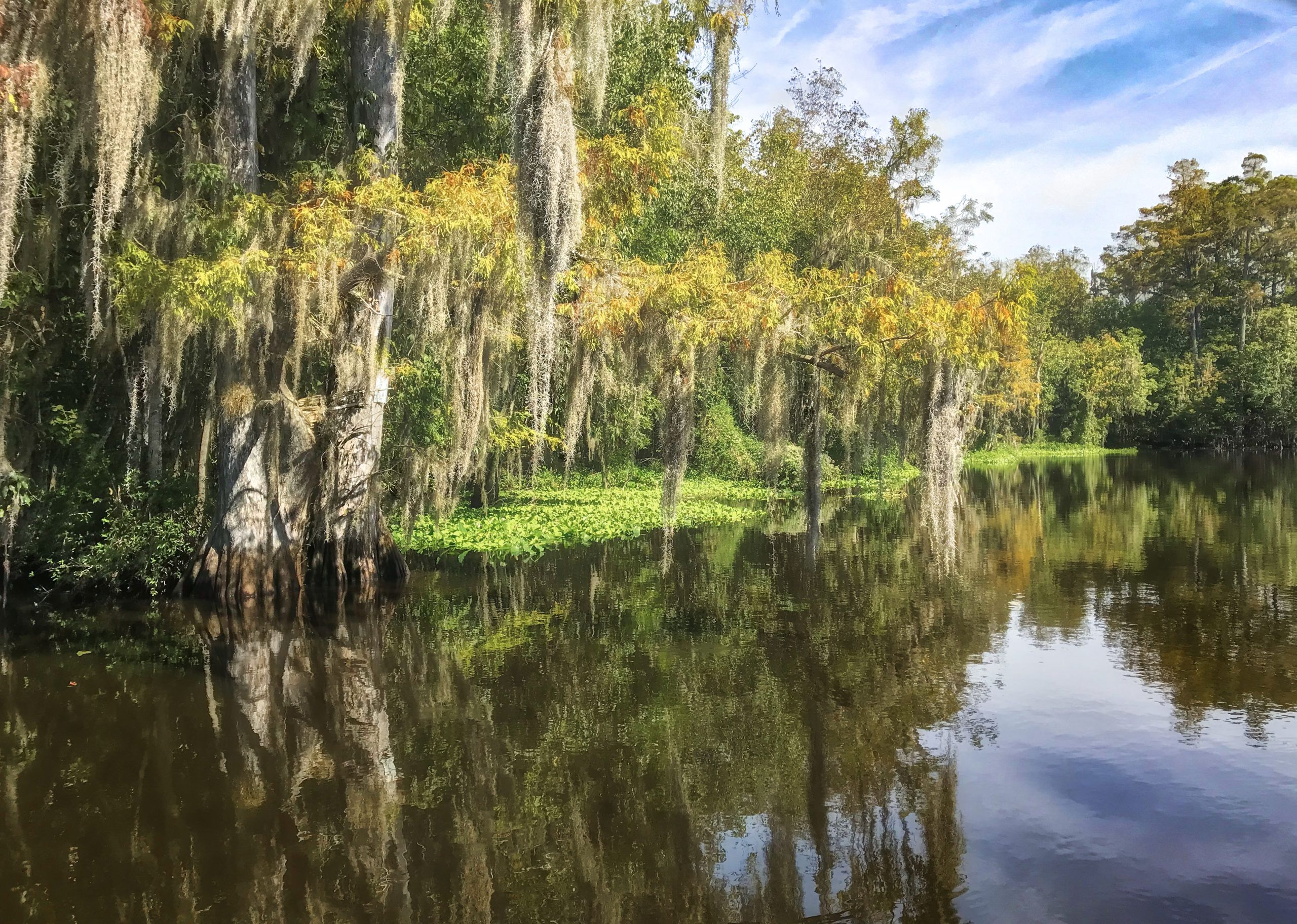
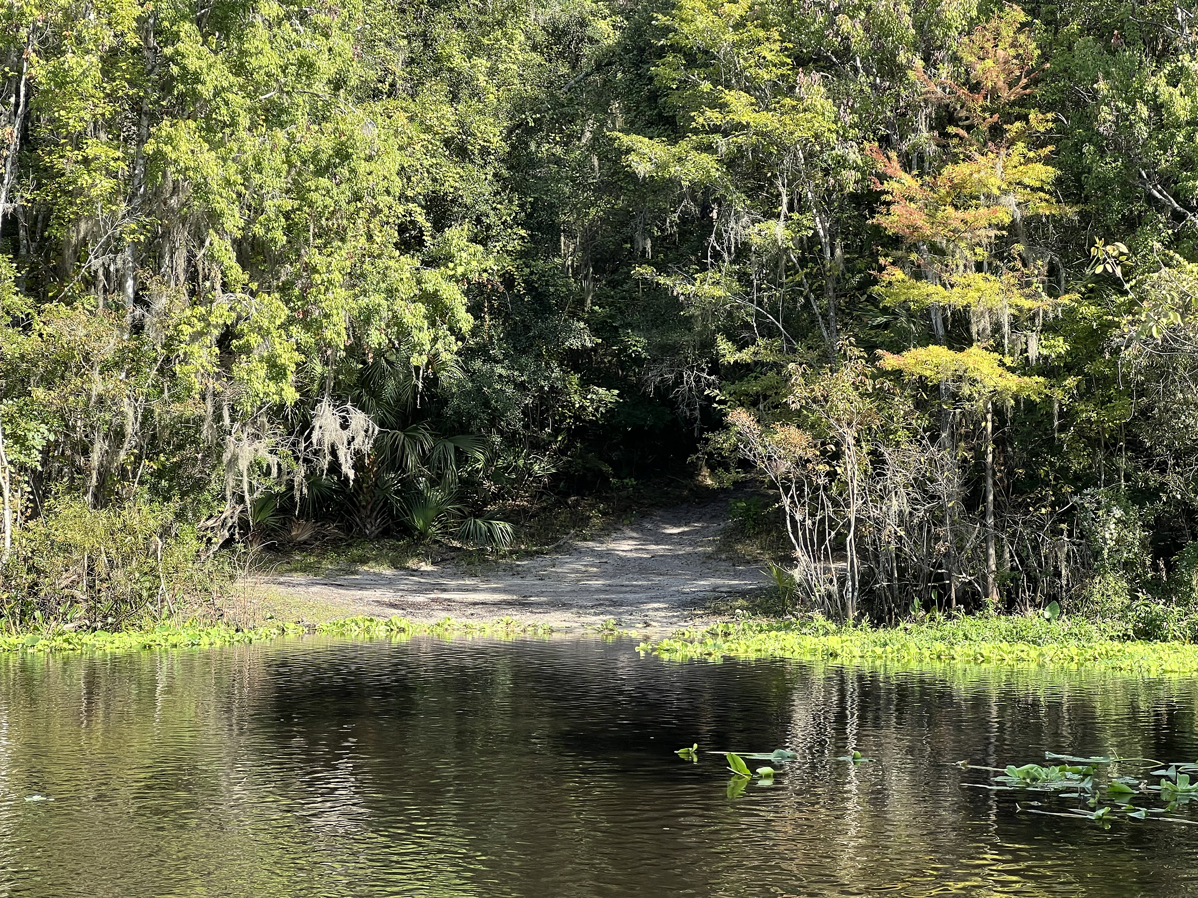
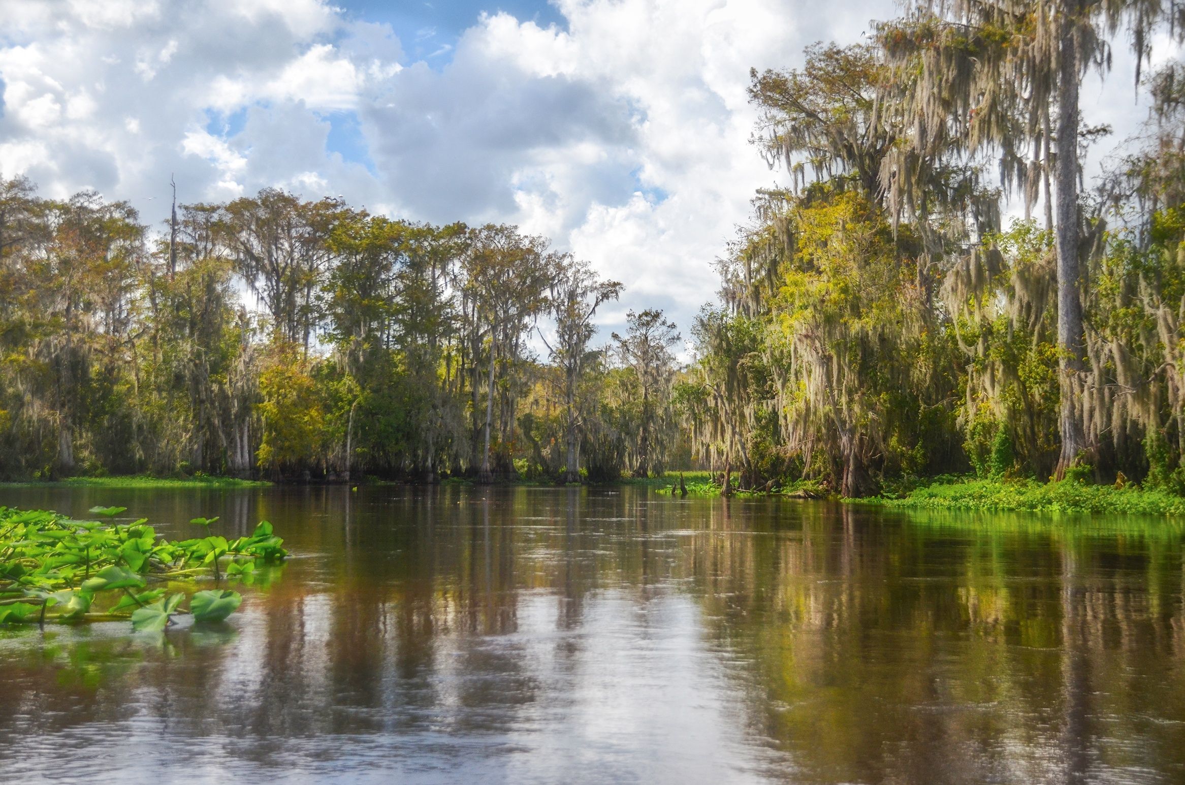
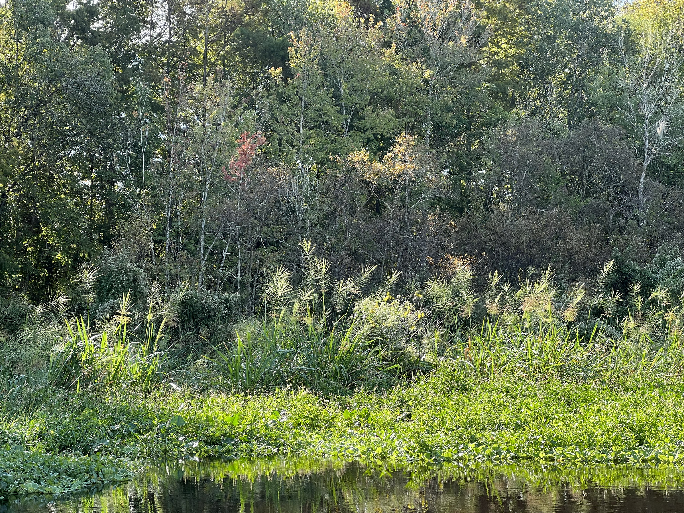
This is one of my favorite sections along the Ocklawaha River. There are several places to stop and rest, especially if the water level is not too high, the one at the 3-mile mark is usually always accessible. There are several long stretches in between the many winds and turns. There is a beautiful Sentinal Cypress around the 3.5 mile mark and can be seen on river left about 15 feet into the wetland. Further downstream are several springs, Cannon Springs being the most notable, however, this is underwater until the Rodman drawdown occurs, usually every four years.
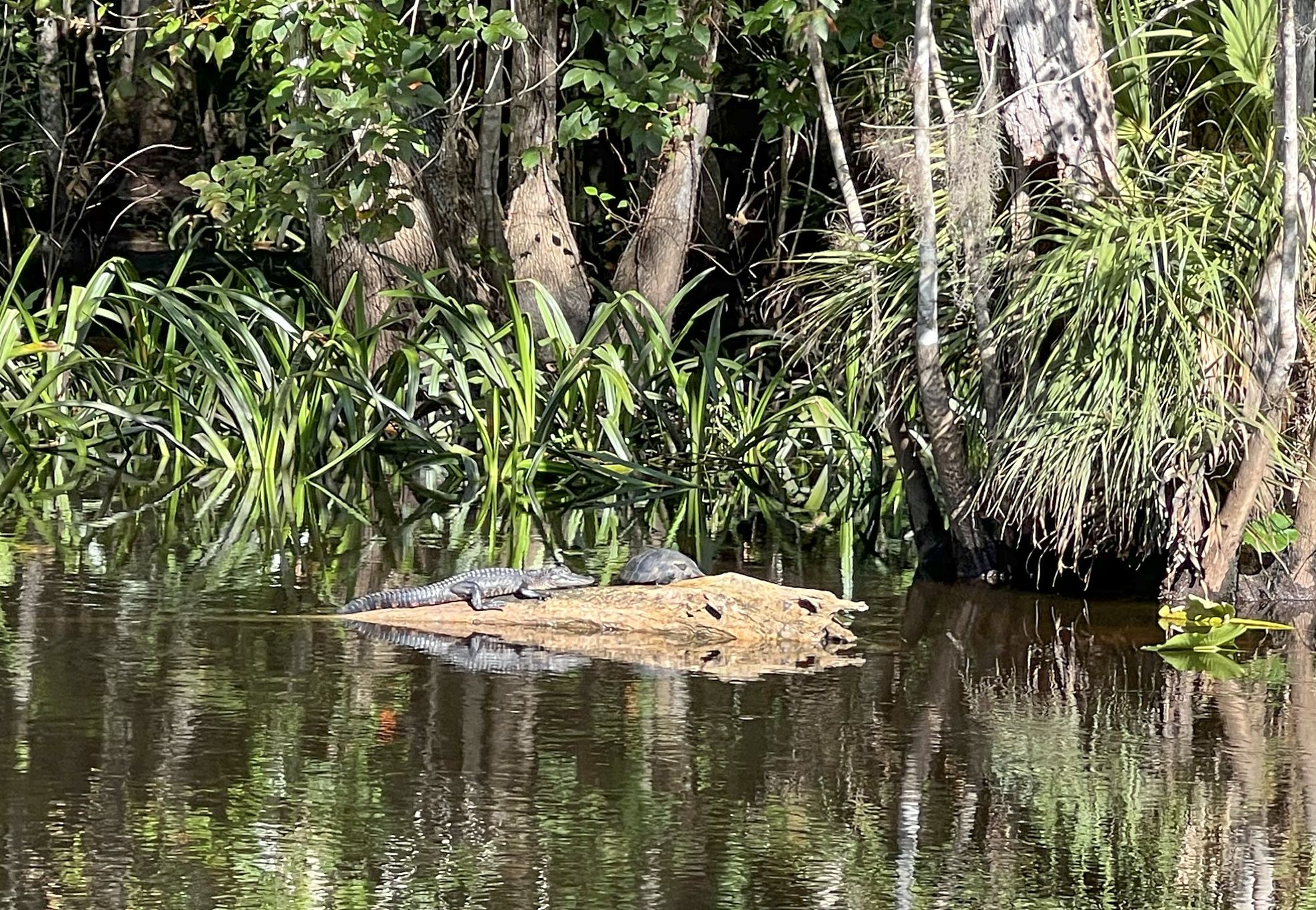
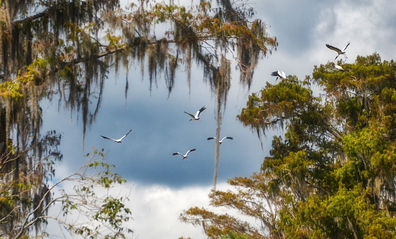
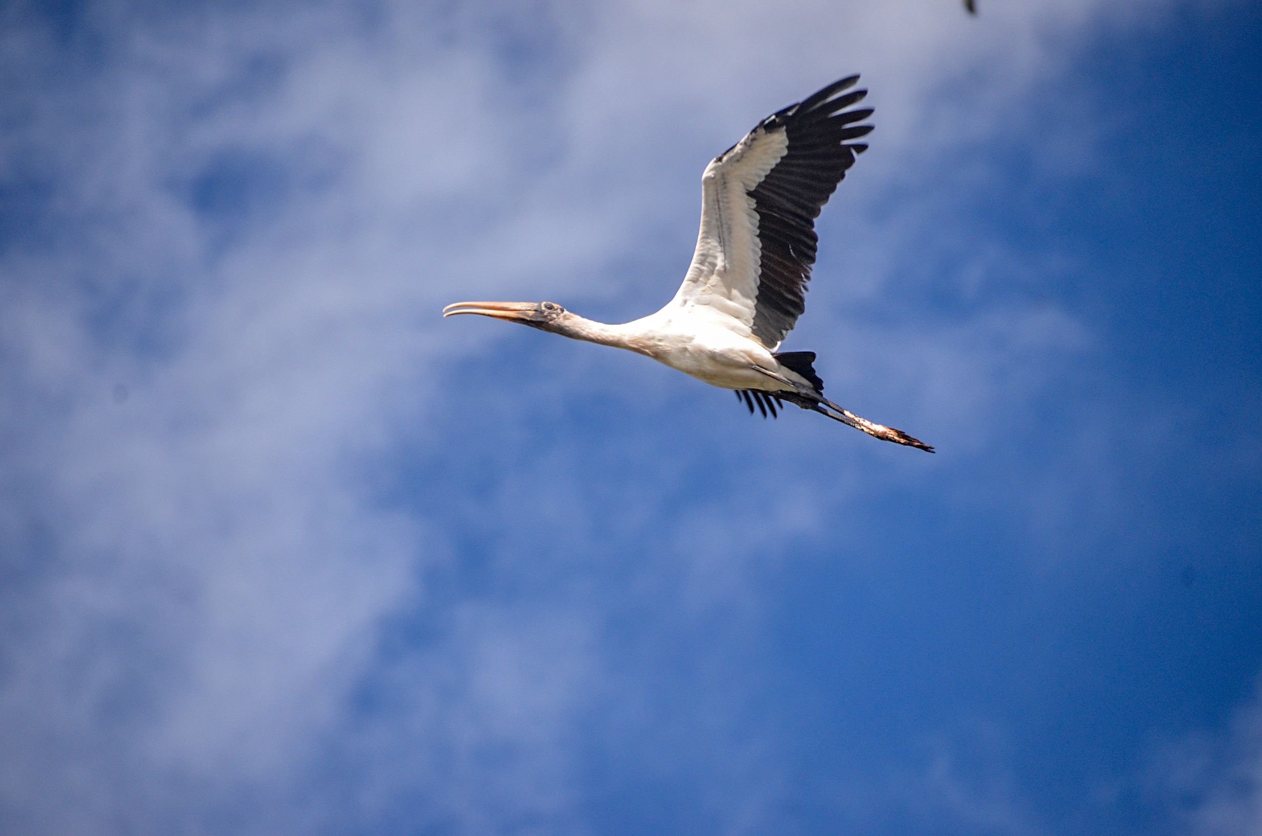
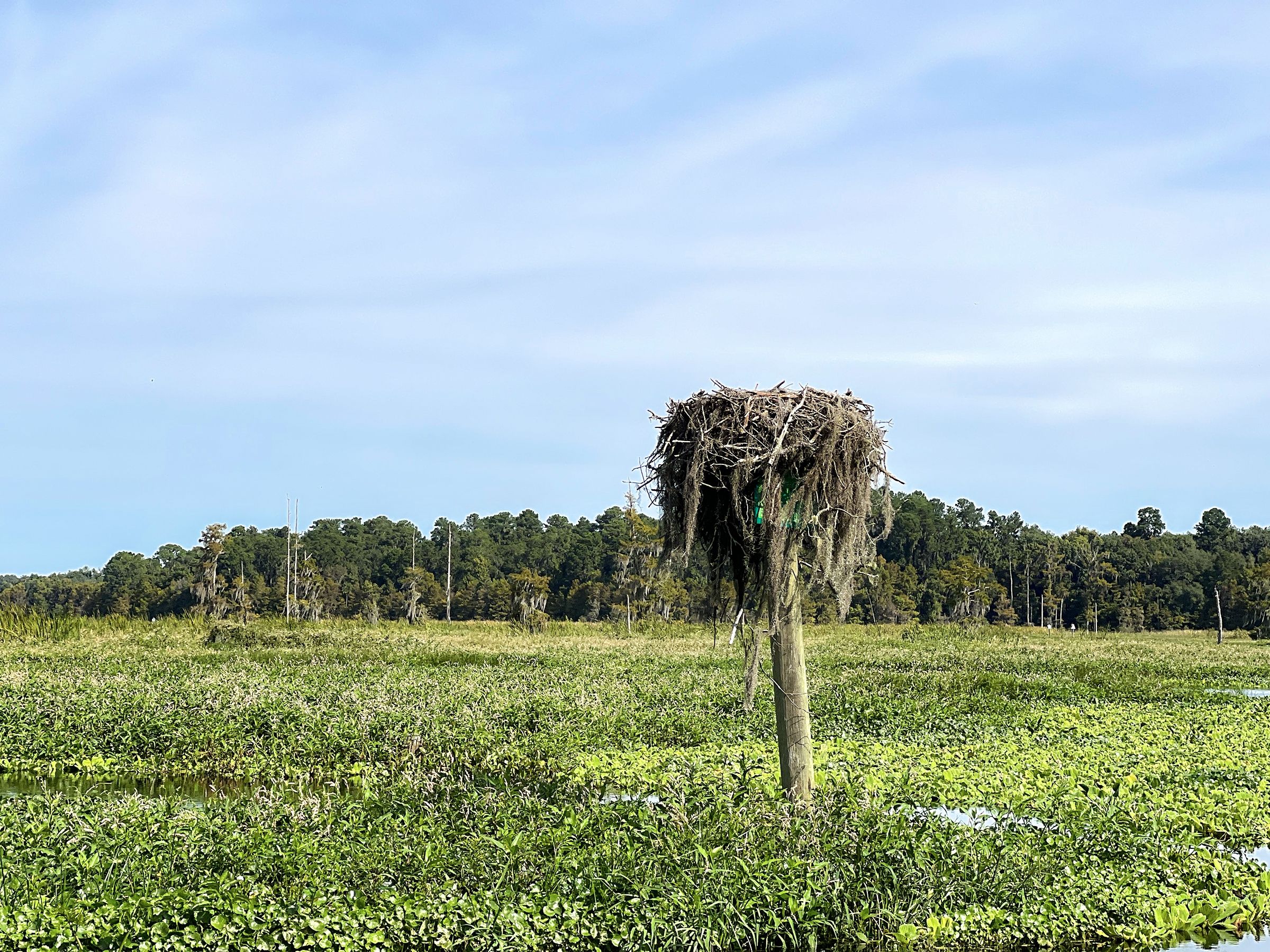
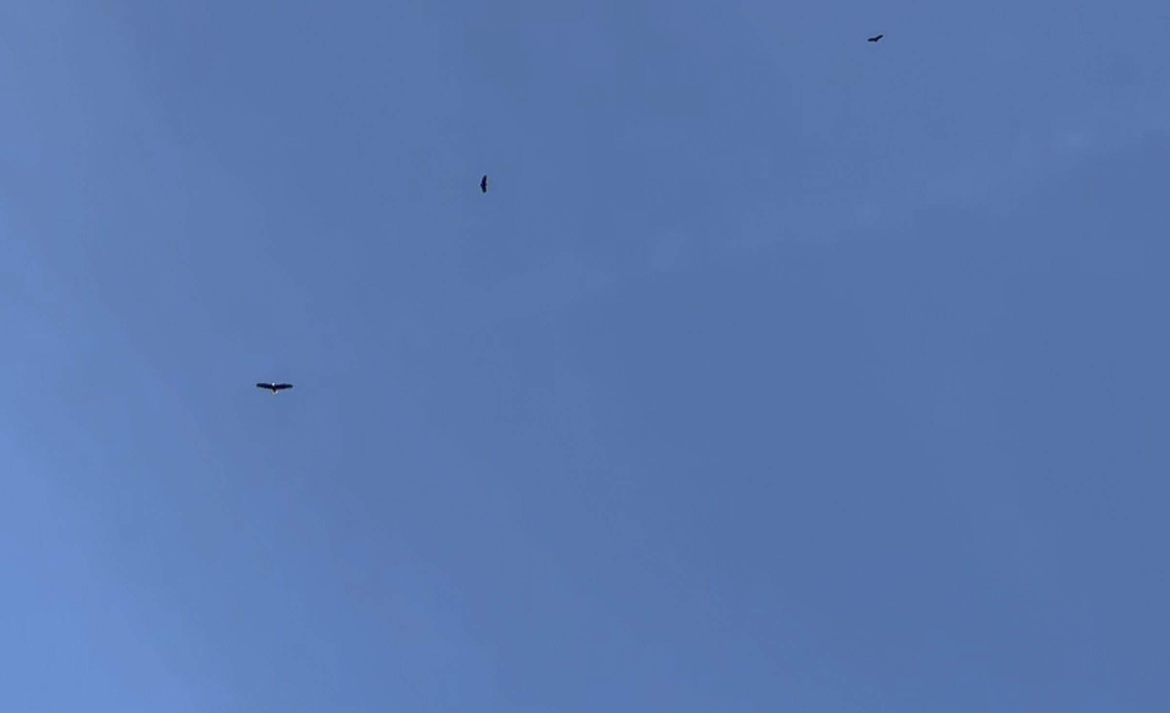
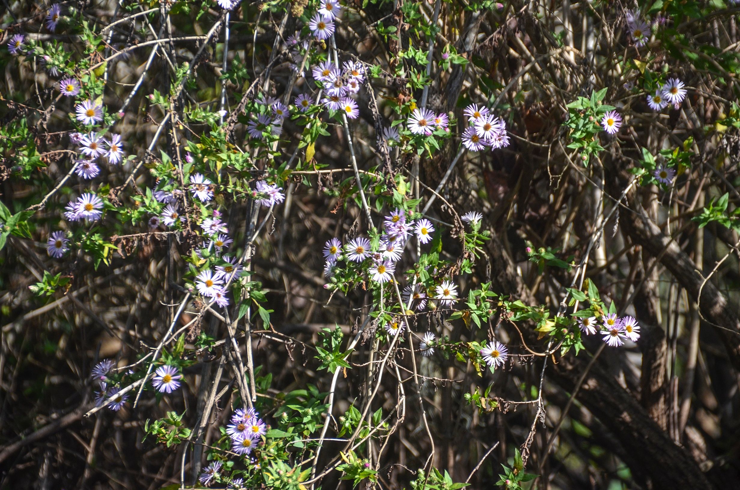
Wildlife was abundant, especially the birds. As usual, Herons, Egrets, Ibis, Limpkins and Kingfishers were on full display, but today was the day of the Wood Storks. They were numerous, especially at the 5.00 mile mark. The flapping of their wings could be heard as they scattered and took spots high in the trees and along the banks. Several gators were also enjoying this beautiful weather. Clumps of Yellow Sunflower Tickseed and Elliots Aster brought color along the shorelines as did several Swamp Lilies.
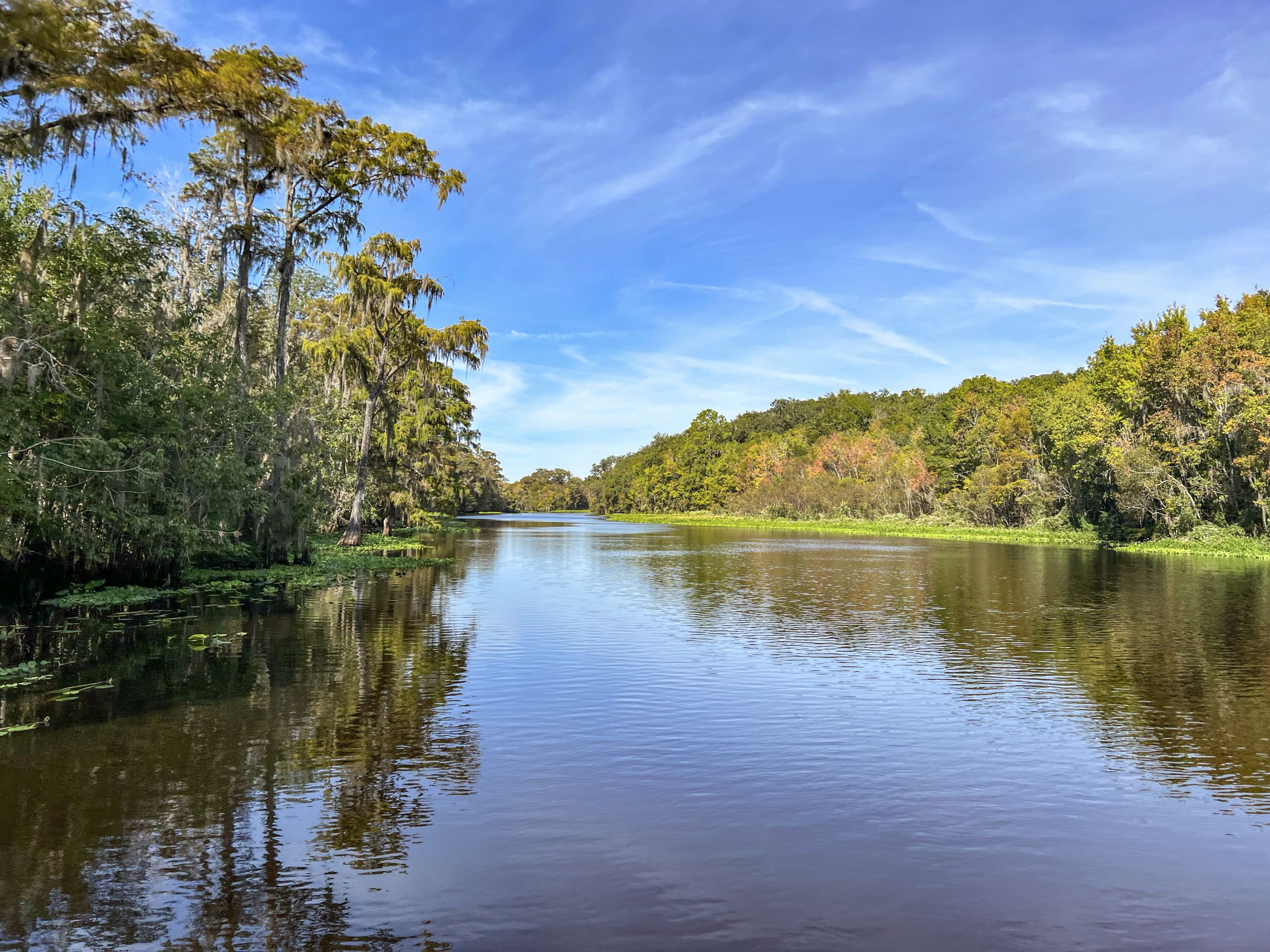
My favorite part of the river is from Cannon Springs up around a few bends before it widens and opens up. In this stretch, there are beautiful Cypress trees and numerous Wood Storks and Ibis! The ramp at Paynes Landing is usually inaccessible due to the large amounts of aquatic vegetation clogging the run and necessitates returning back to Eureka or you can venture further downriver as time permits! That will be noted in my section on Paynes Landing to Kenwood Ramp…James

Eureka West to Paynes Landing Notes
![]() Location: This section of the Ocklawaha River is located between Highway 316 east of Fort McCoy and 212th St, north of Fort McCoy.
Location: This section of the Ocklawaha River is located between Highway 316 east of Fort McCoy and 212th St, north of Fort McCoy.
![]() Boat Ramp:
Boat Ramp:
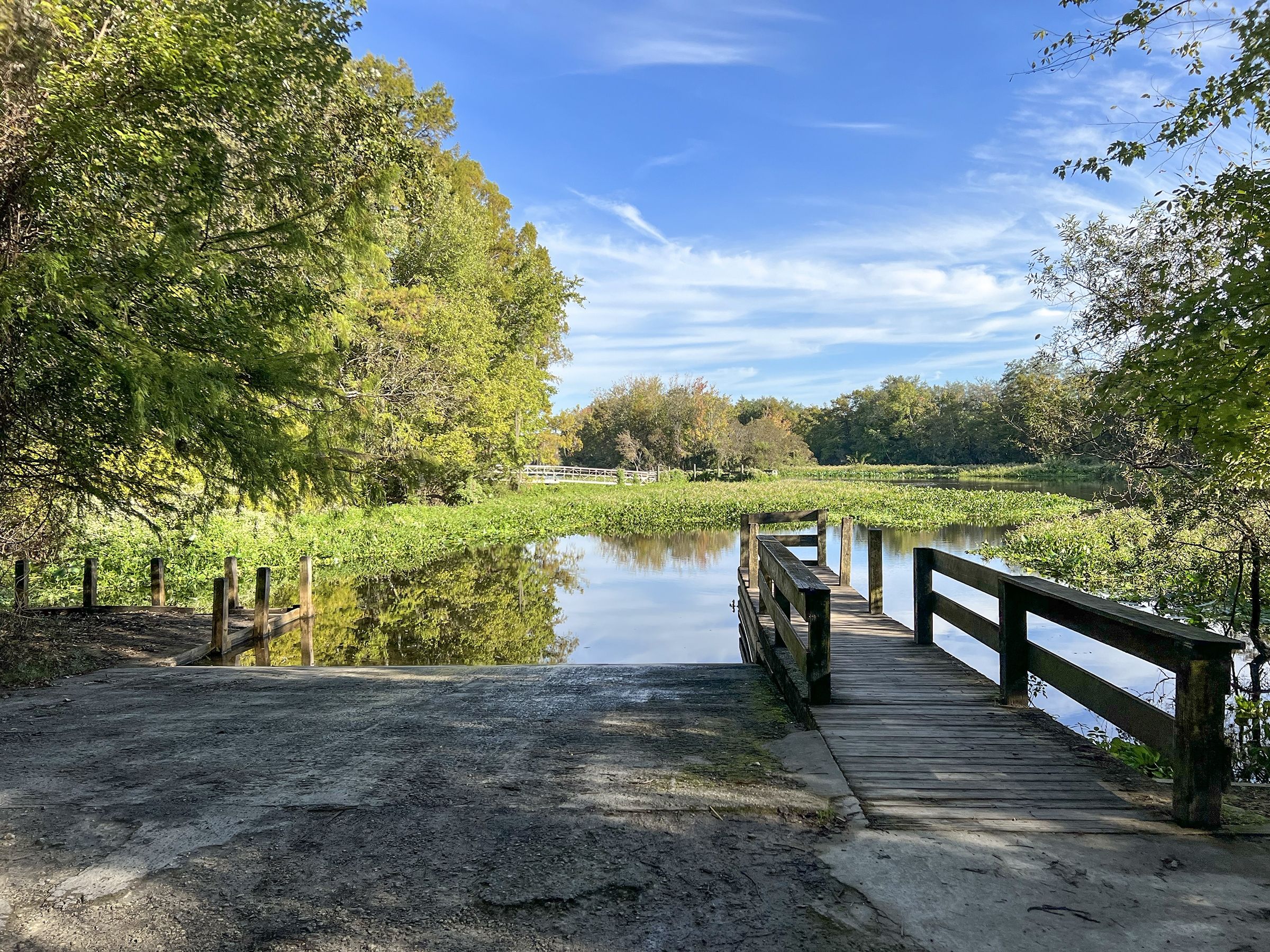
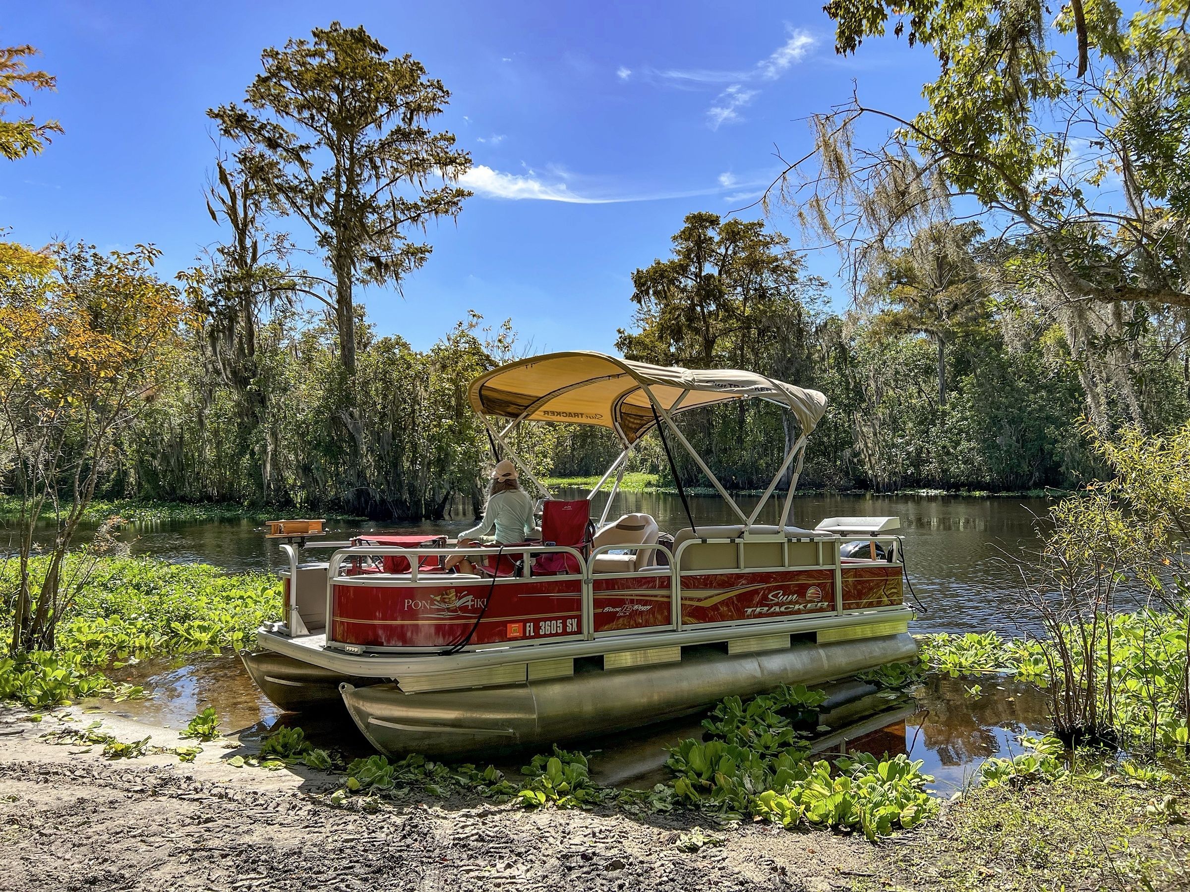
The launch for this paddle is Eureka Boat Ramp West, 15399 NE 152nd Place, Fort McCoy, 32134
There is no fee, ample parking, and a porta-potty. The ramp is concrete in good condition, though VERY slippery! There is also a small dock.
![]() Distance: 7.5-miles one way, 15 miles round trip
Distance: 7.5-miles one way, 15 miles round trip
![]() Width and Depth: The width is deceiving due to the thick border of aquatic vegetation that lines the shorelines. At the launch, the actual river is about 250′ wide, the navigational portion being 140′ wide. At Paynes Landing, the take out, the actual river is over 900′ wide, with the navigational portion being around 125′
Width and Depth: The width is deceiving due to the thick border of aquatic vegetation that lines the shorelines. At the launch, the actual river is about 250′ wide, the navigational portion being 140′ wide. At Paynes Landing, the take out, the actual river is over 900′ wide, with the navigational portion being around 125′
![]() Current – Tidal: The Ocklawaha has a nice steady flow probably in the 2- 3 mph range.
Current – Tidal: The Ocklawaha has a nice steady flow probably in the 2- 3 mph range.
![]() Average Boating Speed: 7 mph
Average Boating Speed: 7 mph
![]() Rest Areas: Porta Potty at the launch, and a couple of nice stops along the way if the water is not too high.
Rest Areas: Porta Potty at the launch, and a couple of nice stops along the way if the water is not too high.
Eureka West to Paynes Landing Gallery


Guides, Maps & Info…
- Rodman Reservoir Topo Map…
- Ocklawaha Water Level Info at Eureka…
- Florida Defenders of the Environment – Remembering the Ocklawaha…
- Ocklawaha River – Remembered-Imagined…
- North Star Charters…Capt. Karen Chadwick…
- History of The Florida Barge Canal…
- Ditch of Dreams…
- History – Treaty of Paynes Landing…
- Ocklawaha Canoe Outpost & Resort…
- The Springs of the Ocklawaha River, Florida: Rodman Dam to Eureka Dam…
- An Ocklawaha River Information Mini-Page…
- Whitey Markle on the Ocklawaha River…
- Searching for—and Finally Finding—Cannon Springs, by Whitney Sanford…
- Save Rodman Reservoir, Inc…
- Free the Ocklawaha, Info, and Videos…
Additional Ocklawaha River Sections
Ray Wayside to Gores Landing | Gores Landing to Eureka West | Eureka West to Paynes Landing | Eureka West to Kenwood Boat Ramp
Additional Waterways
Crystal River | Homosassa River | Intercoastal Waterway | Lake Kerr | Lake Lochloosa | Pellicer Creek | Salt Springs | Santa Fe Lake | Silver Glen Springs | The Cedar Keys | The Ocklawaha River | The St Johns River | The Santa Fe River | The Silver River | The Suwannee River | The Rainbow River | Withlacoochee River
![]()