St. Johns River

Lake George Springs Run
The Lake George Springs Run was our third exploration out onto the St Johns River. Our goal was to boat southward on Lake George and enter into Silver Glen Springs and run to Silver Glen Springs. From there we boated north, back on Lake George to the North end of the lake, and anchored at Rocky Point. Once leaving Rocky Point we entered Lake George once again and entered into Salt Springs Run on the western shoreline and continued on to Salt Springs Basin.
We launched at M-Port Marina in the Ocala National Forest. It is a little further south from Salt Springs Marina, which we like to think of as our ‘home port’, however, It is very shallow where Salt Springs Run enters Lake George, sometimes just a foot deep! At M-Port we have around 2′-3′ of water.
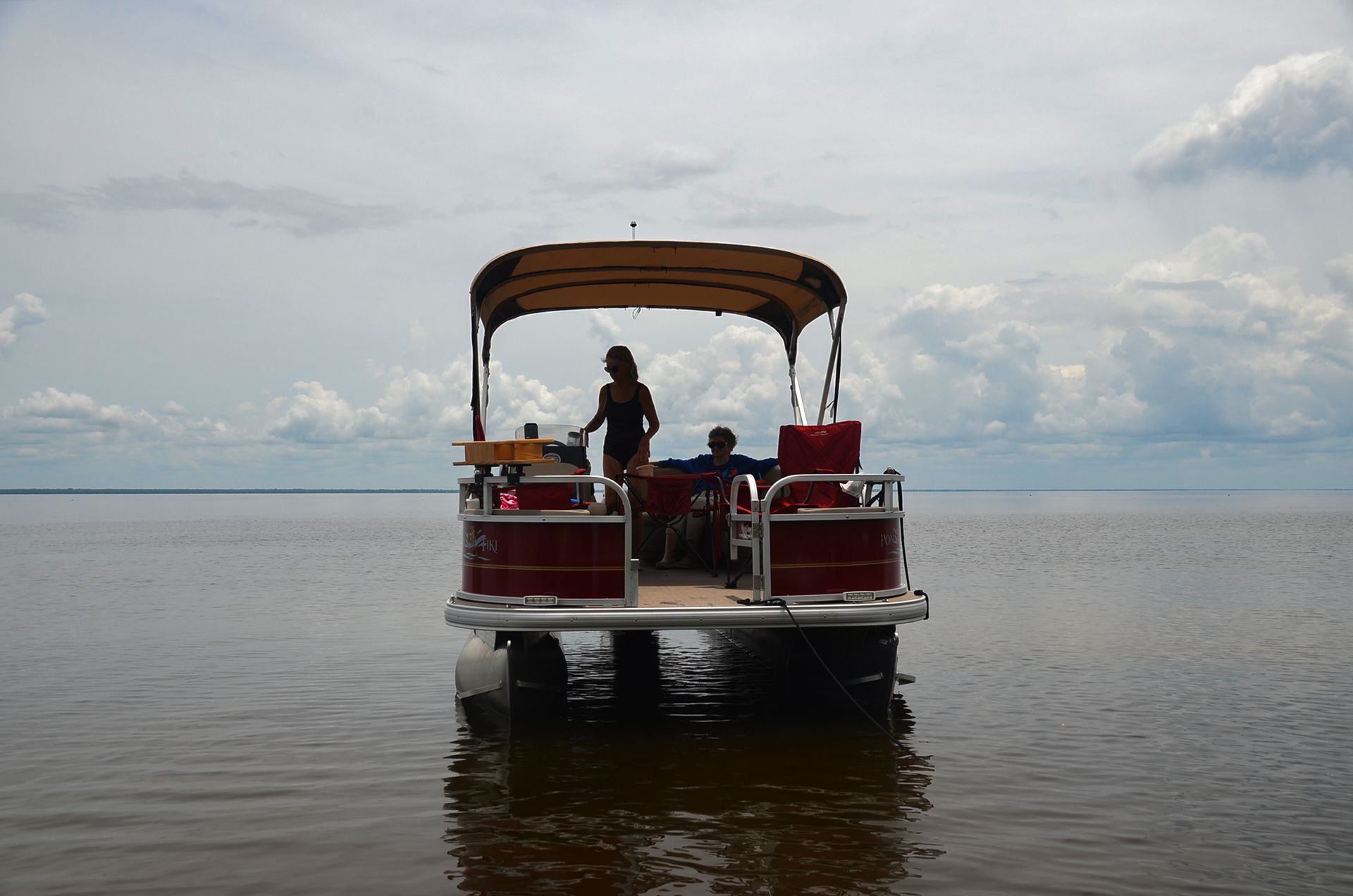
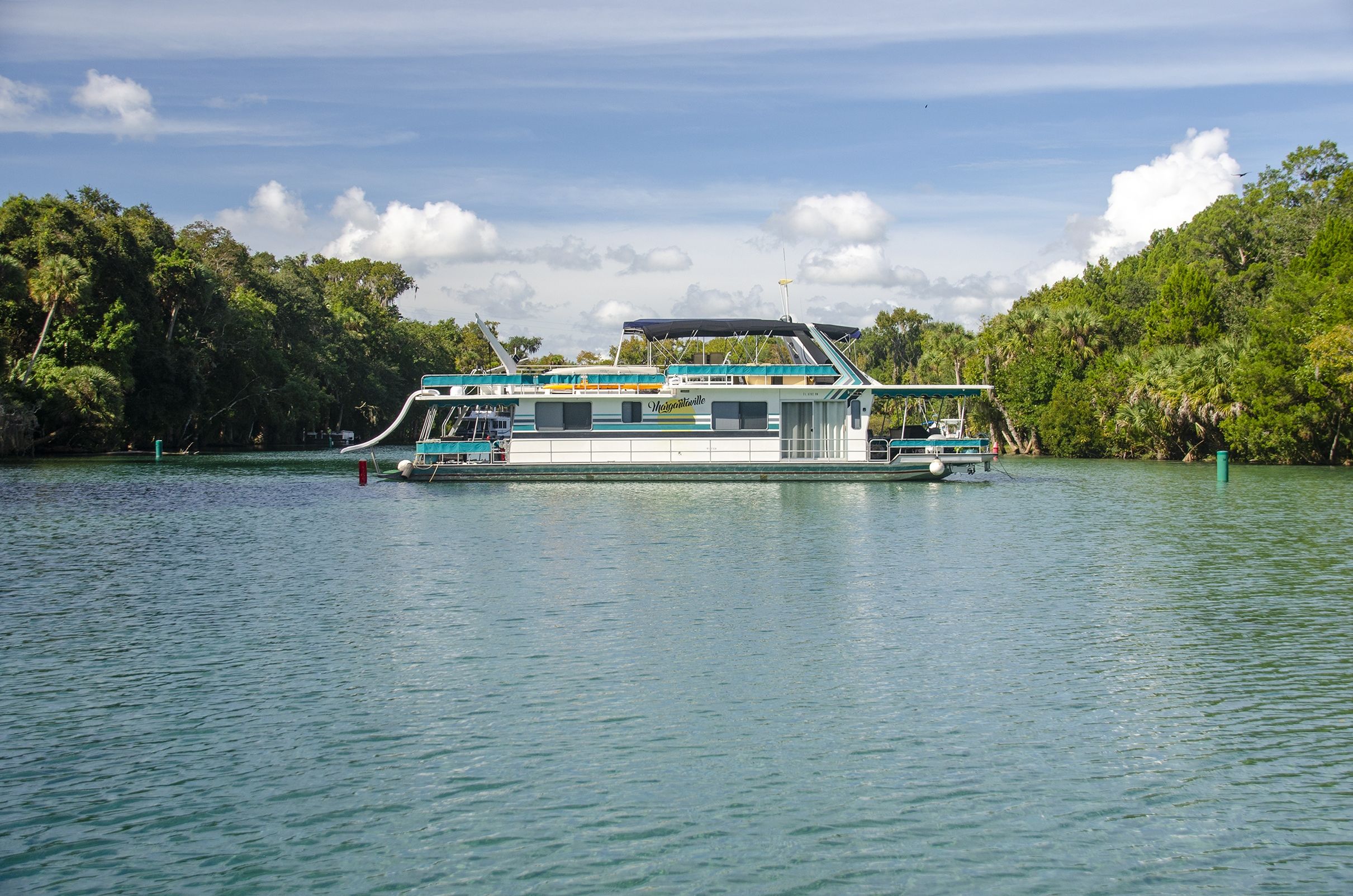
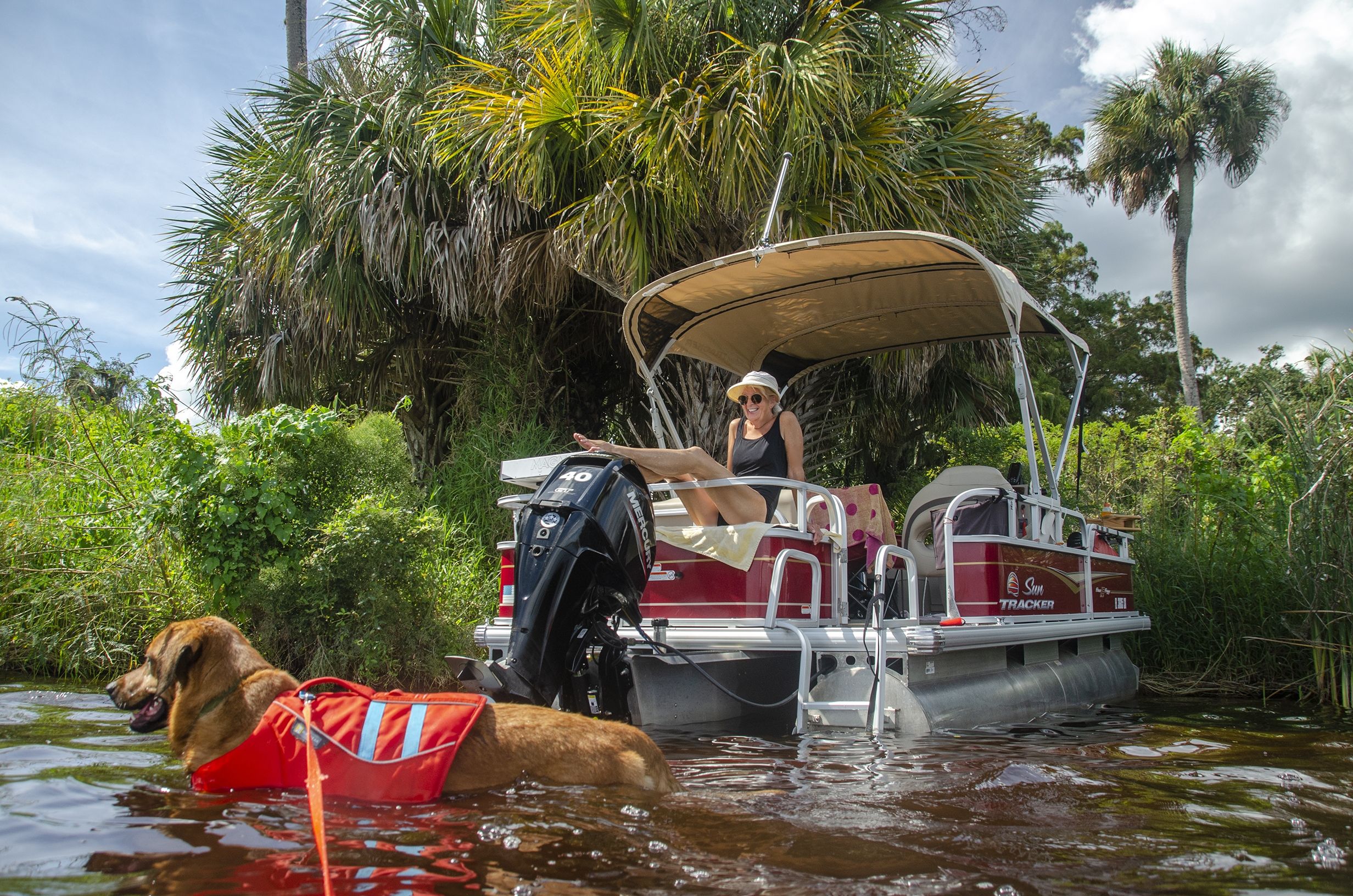
This trip runs basically South, from the launch to Silver Glen Springs, then North to Rocky Point, southwest to Salt Springs, and finally south, back to the launch. Mileages to different points of interest are on the boating map above. We set out with beautiful weather and an almost glassy Lake George which is quite rare!
Lake George, being the second-largest lake in Florida, can oftentimes get quite nasty with wind and rain so check the weather forecast prior to venturing out! In fact on our trip back, leaving Salt Springs Run, the wind picked up and we had a very, tense, choppy, three-mile ride back to M-Port…..James

Lake George Springs Run Notes
![]() Boat Ramp:
Boat Ramp:
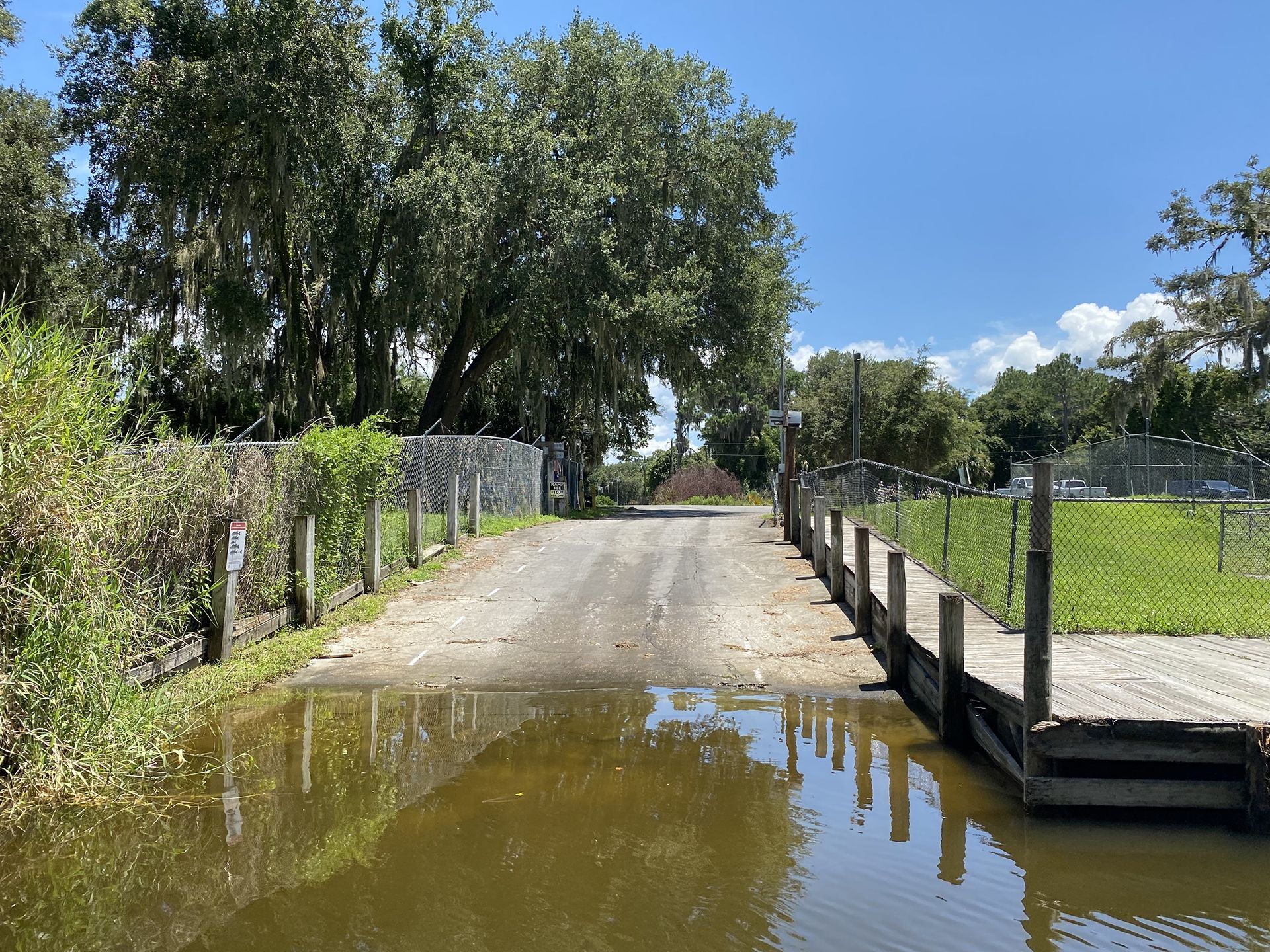
30600 NE 96th Place, Salt Springs
St. Johns River (Marion County), Lake George | $10 fee
Commercially owned for general public use. Single concrete ramp with grass parking for 24 vehicles with trailers and staging docks.
***Note – If the water level on the St Johns River is up, you may also use another launch site at Salt Springs Marina. Sometimes it is very shallow exiting Salt Springs Run onto Lake George.
![]() Distance: 26 miles
Distance: 26 miles
![]() Widths and Depths:
Widths and Depths:
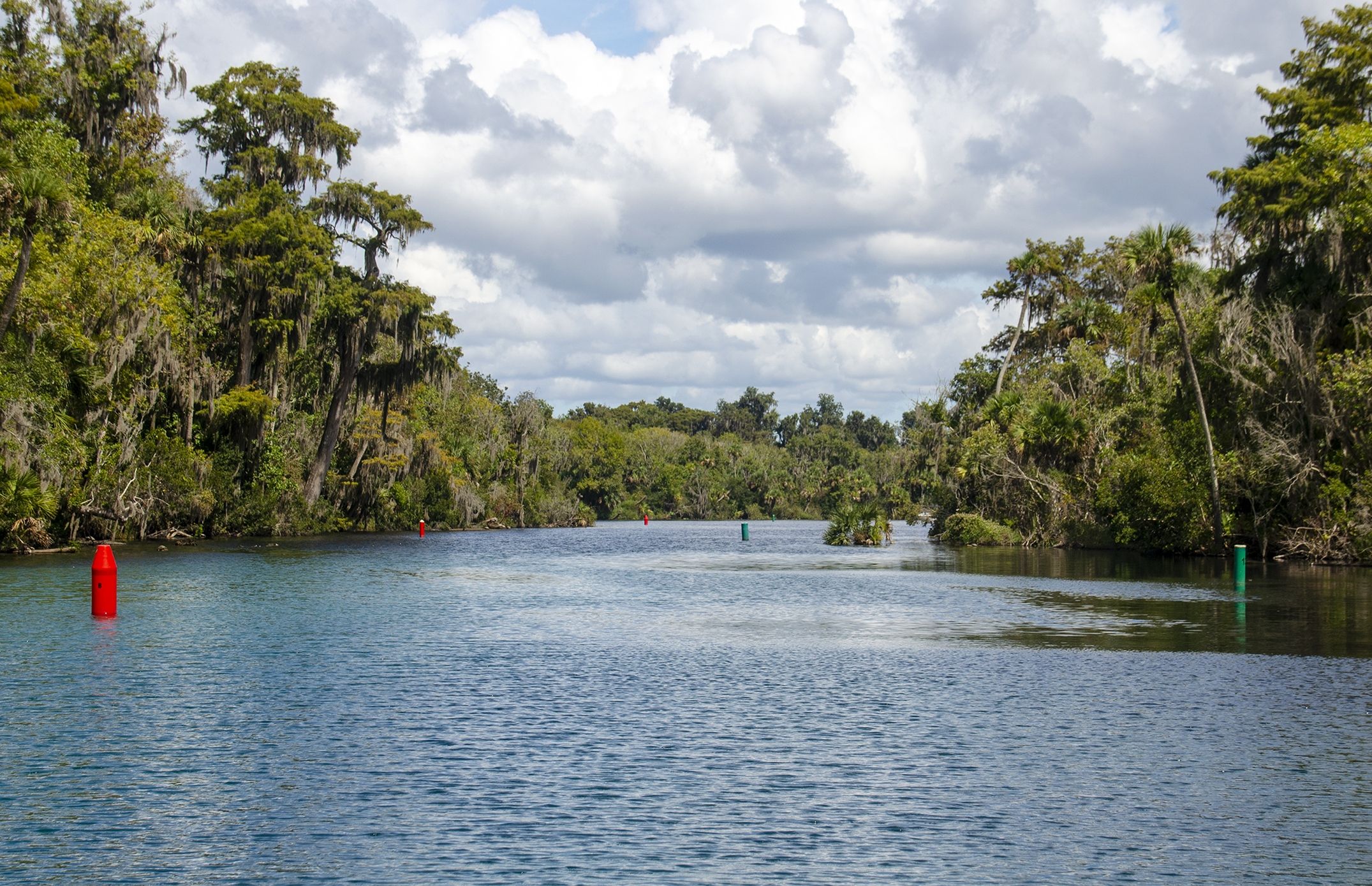
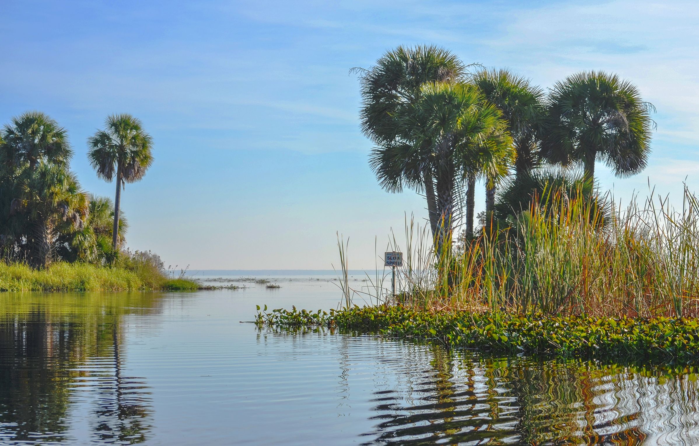
Lake George is a large open lake, approximately 6 miles wide and 11 miles long, with no canopy. The St Johns River, on this section is approximately 1/2 mile wide.
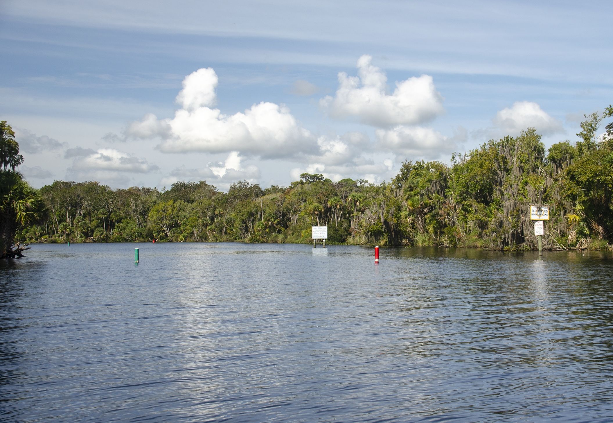
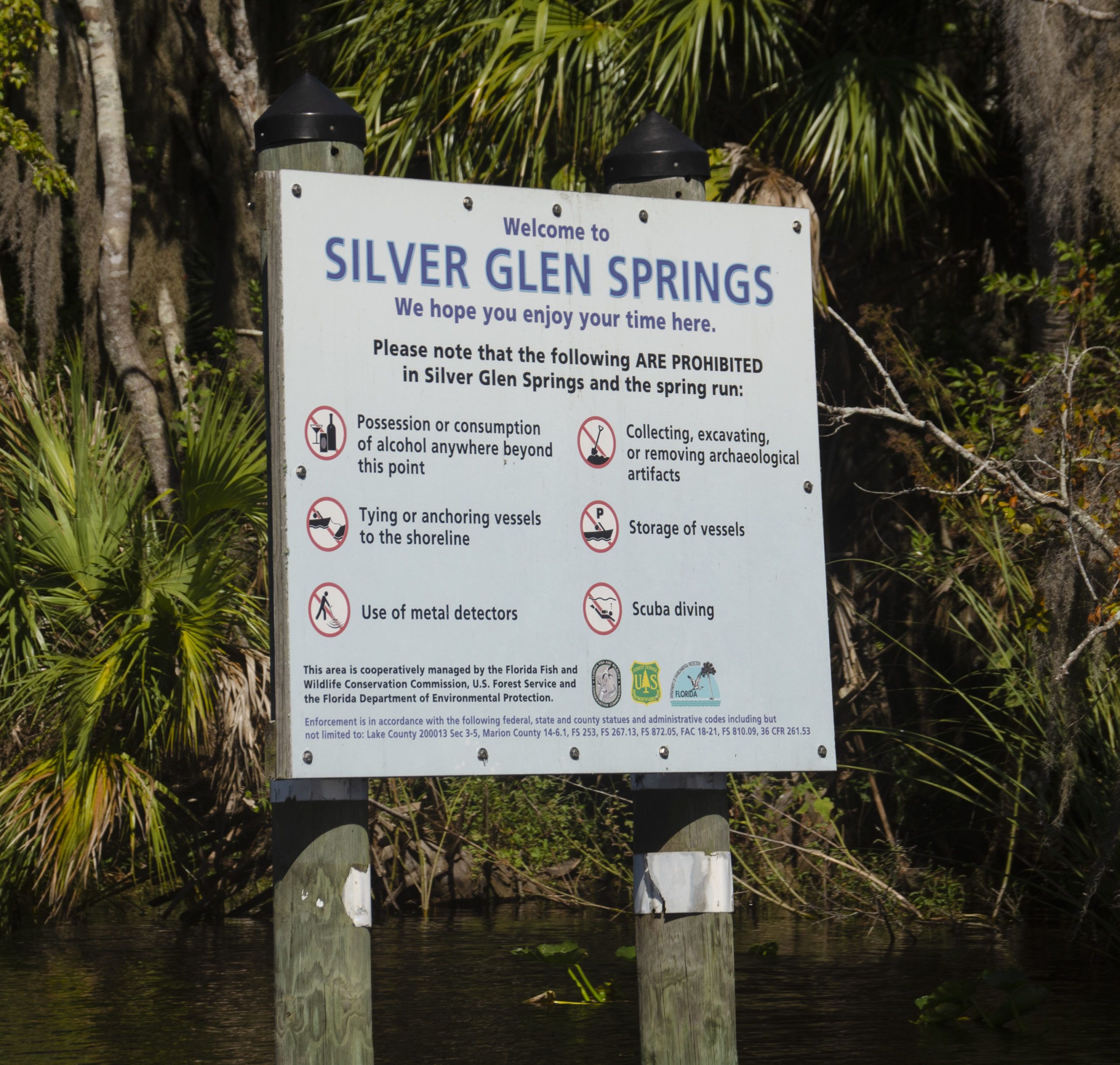
Silver Glen Springs
Distance: Silver Glen Springs to Lake George/St. Johns River is approximately 0.6 miles.
Width and Depth: The run ranges from 300′ at the mouth, thinning to 75′ halfway, and returns to 300′ at the basin. Depths along the run range from 3 to 6′ deep.
Salt Springs
Distance: Salt Springs to Lake George/St. Johns River is approximately 4.5 miles, making for a 9-mile round trip.
Width and Depth: The run is close to 700’ wide at the launch, with several ‘lake’ size openings for the first 2 1/3 miles, then tapers to an average of 150′ – 200’ for the remaining 2 miles. Shallow along the banks, the main channel can be from a couple of feet to 5′ deep. As you near the end of the run it is important to remain in the smaller channel as the depth can be just over a foot, which will kick up the bottom mud if off to the side.
![]() Current – Tidal: Not of much importance, though the tides on the St Johns River, do affect Lake George depths.
Current – Tidal: Not of much importance, though the tides on the St Johns River, do affect Lake George depths.
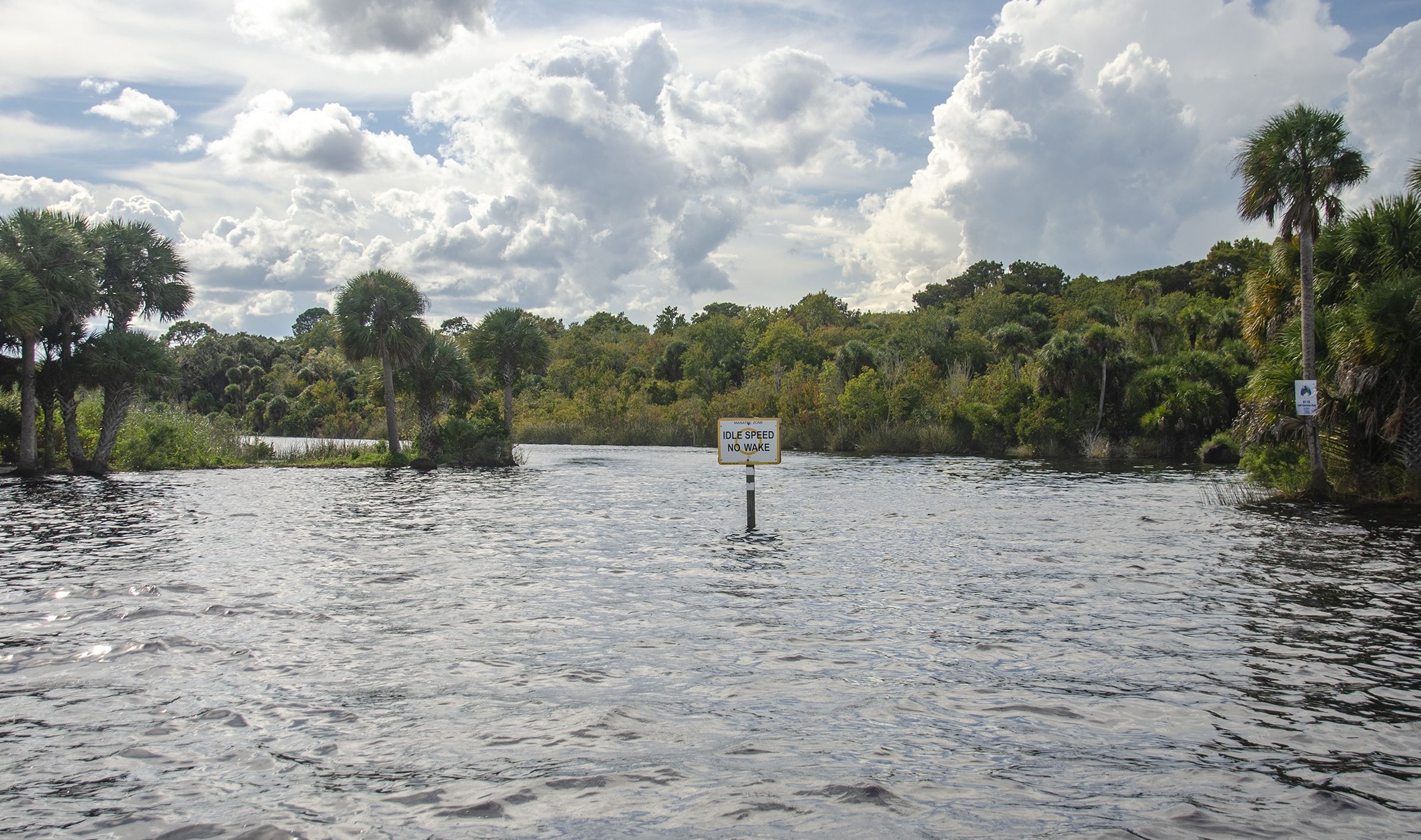
![]() Average Boating Speed: On the runs, 5 mph, yet in the open water or no-wake zones, we run around 12 mph.
Average Boating Speed: On the runs, 5 mph, yet in the open water or no-wake zones, we run around 12 mph.
![]() Rest Areas: Can be found in all these locations
Rest Areas: Can be found in all these locations
Lake George
is the second largest lake in Florida, after Lake Okeechobee, and offers access to wonderful springs, Salt Springs, and Silver Glen Springs.
The Timucua inhabited the region prior to European settlement. The first European to visit the lake was Pedro Menéndez de Avilés, who as the Spanish governor of Florida, explored the St. Johns River in the spring of 1596. Later, the Florida territory was sold to Britain. The royal botanist in America to King George III, John Bartram, explored the St. Johns River in 1765. It was John Bartram who gave the lake the name Lake George, in honor of his king.
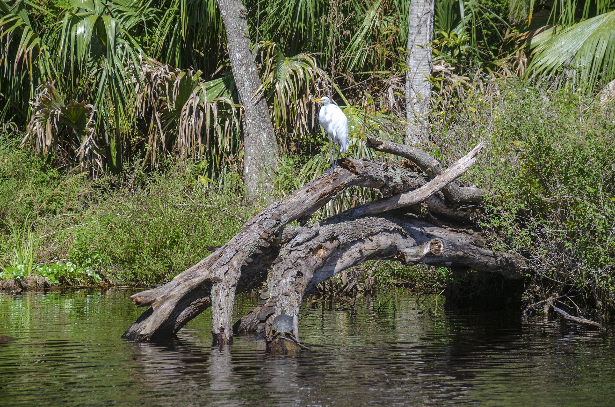
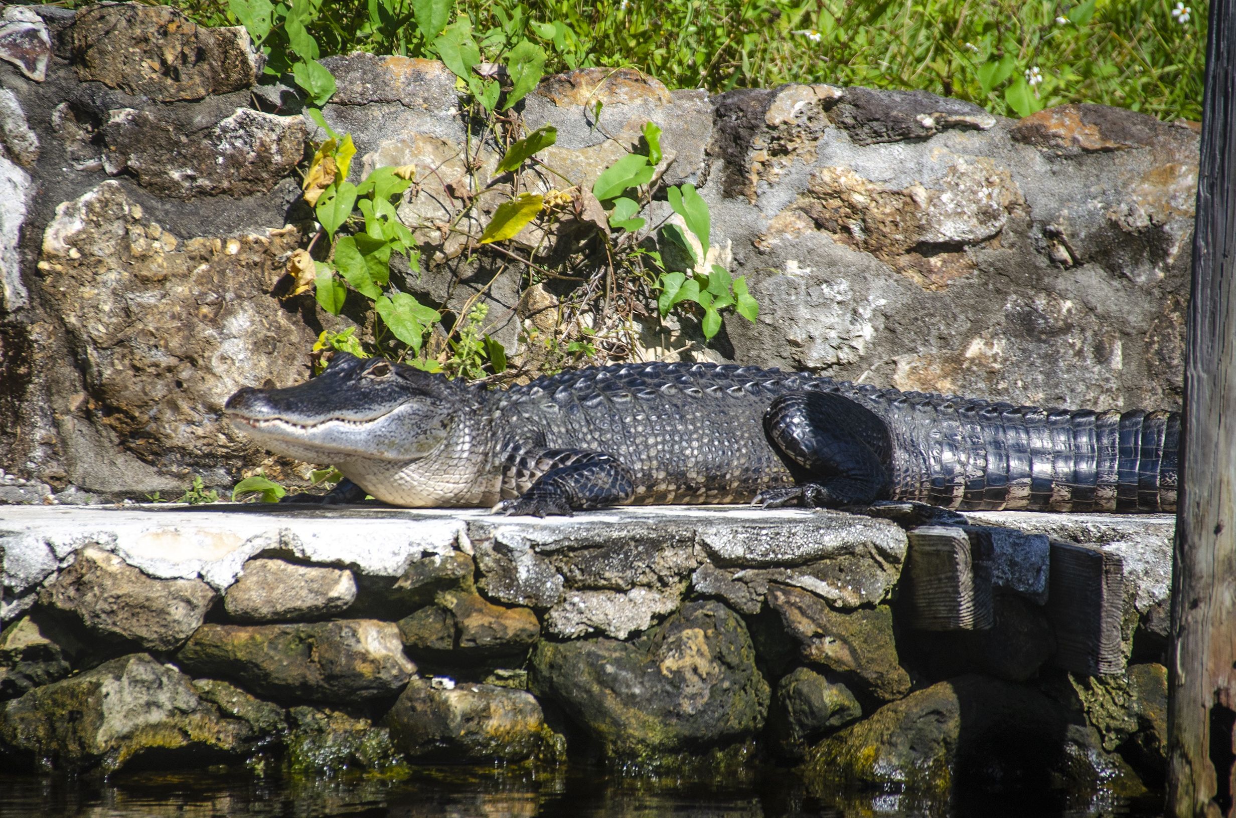
The lake also hosts a wide variety of wildlife ranging from migratory waterbirds and alligators to a number of normal marine animals. Local springs in Lake George (and throughout the St Johns River) impart enough salt to the system to make the habitat suitable to resident and migratory marine species like Atlantic stingray, various species of mullet, striped bass, and blue crabs.
Salt Springs Run

is a body of water that flows from the head spring, 4.5 miles to Lake George at the St. Johns River.
The head spring, Salt Springs, gets its name from the magnesium, potassium, and sodium salts rising to the surface through ancient salt deposits. The spring is located in the town of Salt Springs. It is a second-magnitude spring with a flow of over 60 cubic feet per second, having several vertical vents in a large shallow pool. Salt Springs Run is a major tributary to the St. Johns River.
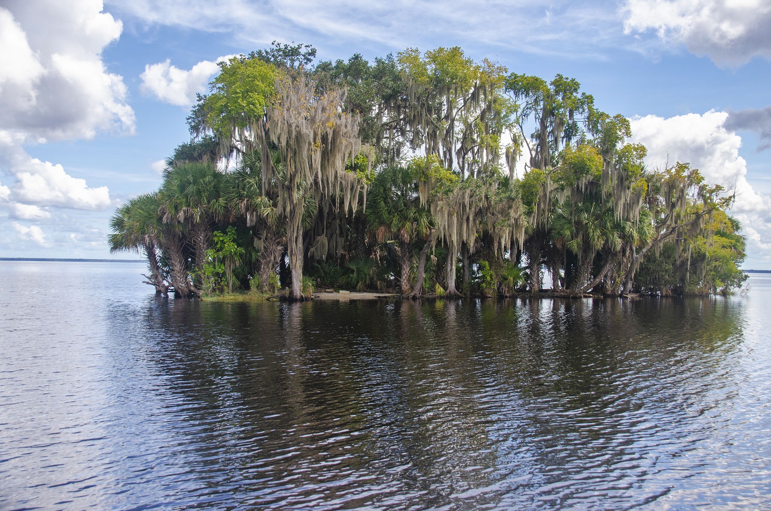
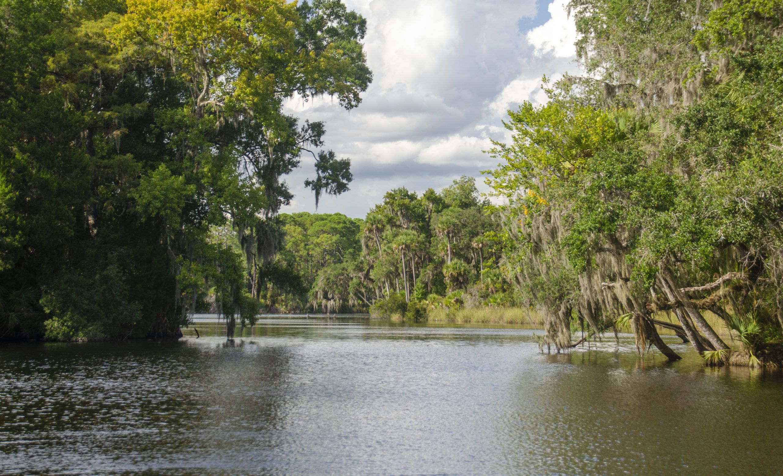
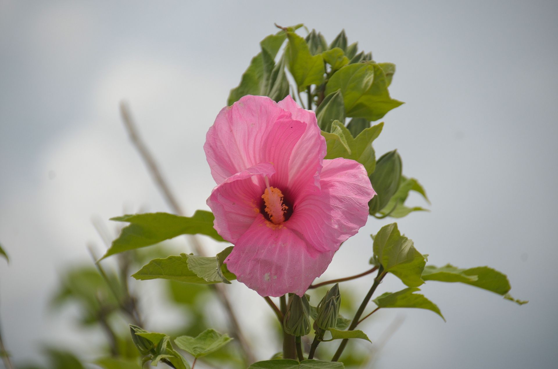
The run is wide for more than half its length, flowing through open marshland and then narrowing and winding through shadier hammocks of Sabal Palmettos, Pines, Hollies, and Oaks before reaching Lake George. Numerous water birds can be seen throughout the year, fishing is good and a variety of wetland plants can be seen blooming. In the colder weather, Salt Springs Run is a popular habitat for the West Indian Manatee.
Silver Glen Springs
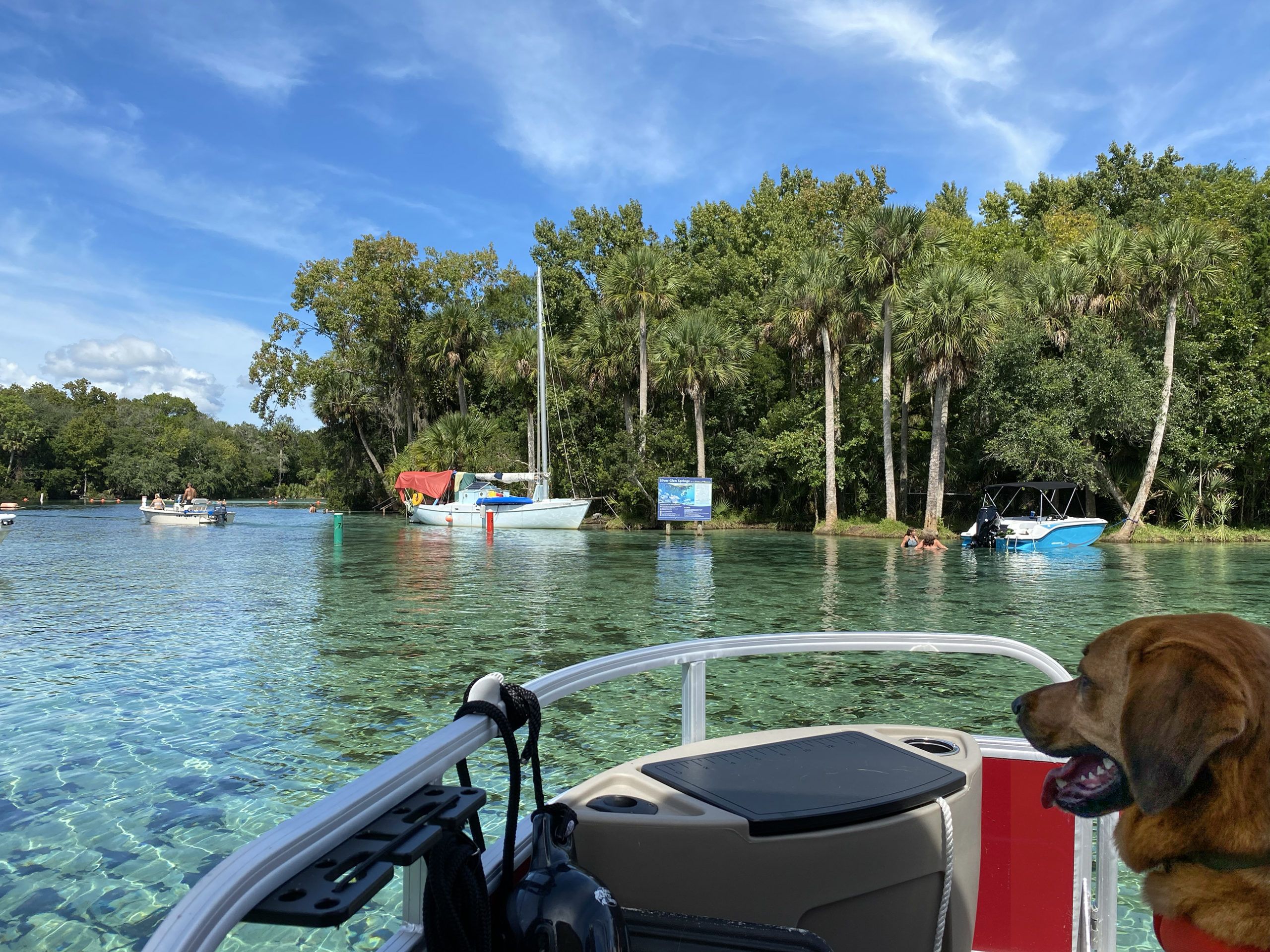
is an Outstanding Florida Spring and a first-magnitude spring with a large, semicircular pool that measures 200 feet from north to south and 175 feet from east to west. The vertical cave opening called the Natural Well on the southwestern edge of the pool is about 12 to 15 feet in diameter and 40 feet deep. Water from the springs flows eastward down a run about 200 feet wide for 0.75 miles to Lake George. According to the USDA website, the spring is designated as critical habitat for the West Indian Manatee, and the spring and run have the potential to serve as a major manatee refuge.
St Johns River Springs Run Photo Gallery
Guides, Maps & Info…
- Lake George Topo Map…
- Lake George Water Level Data…
- Lake George Information…
- St Johns River…
- Renegades on the River…
- Notes on the Ocklawaha River…
- William Bartram and the Bartram Trail…
Additional St. Johns River Sections
M Port Marina to Bryant’s Wharf | Palatka to Dunns Creek | Lake George Springs Run | Brown’s Landing to Norwalk Point
Additional Waterways
Crystal River | Homosassa River | Intercoastal Waterway | Lake Kerr | Lake Lochloosa | Pellicer Creek | Salt Springs | Santa Fe Lake | Silver Glen Springs | The Cedar Keys | The Ocklawaha River | The St Johns River | The Santa Fe River | The Silver River | The Suwannee River | The Rainbow River | Withlacoochee River
![]()